
Country Pakistan District Hangu District | Region Khyber-Pakhtunkhwa Time zone PST (UTC+5) | |
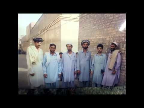 | ||
Vildhjarta thall 1
Thall (Pashto: ټل, Ṭəl) is a City of Hangu District in Khyber-Pakhtunkhwa province of Pakistan. Thall is located at 33°21'52N 70°32'52E with an altitude of 742 metres (2437 feet). It is administratively subdivided into two Union Councils. It is separated from the North Waziristan Agency by the Kurram River. The Peshawar-Thall and Thall-Parachinar road passes from here which is an important route of this area. It is 4hrs drive from Peshawar and about 3hrs from Kohat. A major Bazaar or market of this region is located here which is a hub for traders from Kurram agency, Afghanistan and adjoining areas. The Historic Thall fort built by the British in 1909 is located here, Which serves as the HQ for Thall Scouts, a Paramilitary unit of FC.
Contents
- Vildhjarta thall 1
- Map of Thal Pakistan
- Humanity s last breath thall
- Climate
- Language
- Religion
- Landscape
- Railway
- References
Map of Thal, Pakistan
Humanity s last breath thall
Climate
The weather is extreme cold in winters and mild and pleasant in summers, days are bit hotter, with cool breeze in the evenings.
Language
The Thall People are 100% Pashtuns. They Belong to the Bangash Tribe and follow Pashtunwali, i.e., The code of life by which Pashtuns live.
Religion
There are Followed by 100% oF () Sunni Islam.
Landscape
Geographically it is mountainous and hilly. It is located at base of large mountain locally known as Khade-Makh or 'beautiful face' in English. The Kurram river passes near the town, where a small number of fish are also present which are locally fished and consumed.
Railway
Thall was the terminus railway station of Thall-Kohat Narrow gauge (762 mm or 2 ft 6 in) railway line. This railway line was closed in 1991.