
Postal code 5100 Population 581,227 (2011) | Time zone BST (UTC+6) Area 683.4 km² | |
 | ||
Website Official Thakurgaon website | ||
Thakurgaon Sadar (Bengali: ঠাকুরগাঁও সদর) is an Upazila of Thakurgaon District in the Division of Rangpur, Bangladesh.
Contents
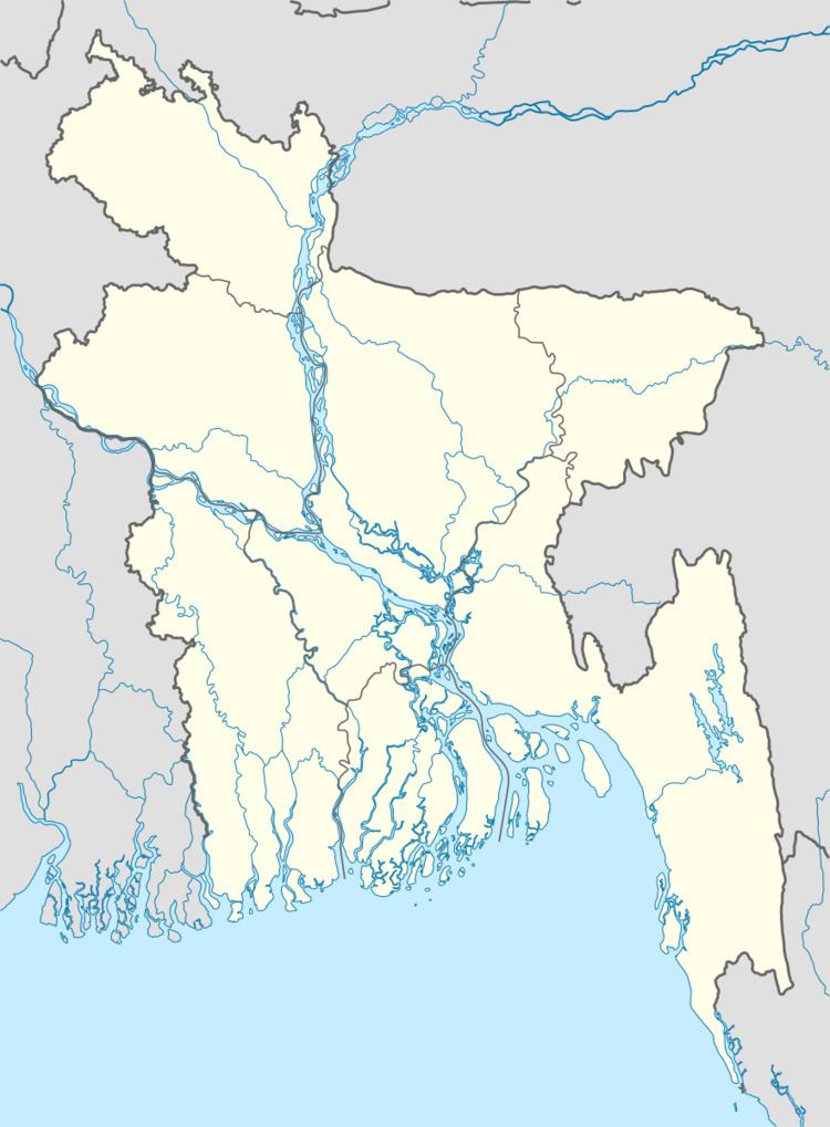
Map of Thakurgaon Sadar Upazila, Bangladesh
Geography
Thakurgaon Sadar is located at 26.0208°N 88.4667°E / 26.0208; 88.4667 . It has 79823 households and total area 683.45 km².
Demographics
As of the 1991 Bangladesh census, Thakurgaon Sadar has a population of 422728. Males constitute 51.7% of the population, and females 48.3%. This Upazila's eighteen up population is 214112. Thakurgaon Sadar has an average literacy rate of 30.1% (7+ years), and the national average of 32.4% literate.
Administration
Thakurgaon Sadar has 22 Unions/Wards, 215 Mauzas/Mahallas, and 198 villages.
References
Thakurgaon Sadar Upazila Wikipedia(Text) CC BY-SA