
Country Thailand Postal code 32120 Province Surin Province | Time zone THA (UTC+7) Area 643.3 km² Geocode 3203 | |
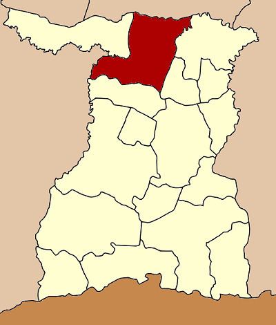 | ||
Tha Tum (Thai: ท่าตูม) is a district (Amphoe) in the northern part of Surin Province, northeastern Thailand.
Contents
Map of Tha Tum District, Surin, Thailand
Geography
Neighboring districts are (from the east clockwise) Rattanaburi, Sanom and Chom Phra of Surin Province, Satuek of Buriram Province, Chumphon Buri of Surin again, and Kaset Wisai and Suwannaphum of Roi Et Province.
Administration
The district is subdivided into 10 subdistricts (tambon), which are further subdivided into 165 villages (muban). Tha Tum is a township (thesaban tambon) which covers parts of tambon Tha Tum. There are further 10 Tambon administrative organizations (TAO).
References
Tha Tum District Wikipedia(Text) CC BY-SA