
Country Thailand Time zone THA (UTC+7) Area 1,920 km² Geocode 6305 | Seat Mae Tan Postal code 63150 Province Tak Province | |
 | ||
Points of interest Mon Kru Ba Sai, Tham Mae Usu, Mae Moei National Park, Mon Kiew Lom Maemoei, Mon Poonsuda National | ||
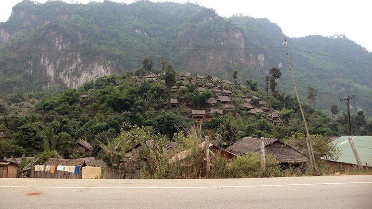
Tha Song Yang (Thai: ท่าสองยาง, [tʰâː sɔ̌ːŋ jāːŋ]) is the northwesternmost district (Amphoe) of Tak Province, western Thailand.
Contents
Map of Tha Song Yang District, Tak, Thailand
History
Tha Song Yang was a minor district (King Amphoe) of Mae Sariang district, Mae Hong Son Province. It was called Ban Mae Moei or Ban Mae Tawo (บ้านแม่เมย or บ้านแม่ตะวอ). The district office was located at Tambon Tha Song Yang.
In 1948 the government moved Tha Song Yang to be a subordinate of Mae Sot district, Tak Province. The following year the district office was moved to Tambon Mae Tan. In 1958 it was upgraded to a full district.
Etymology
Tha Song Yang means a river pier that has two Yang trees (Dipterocarpus sp.). The name originates from the old location of the district office, where it had two Yang trees on both of the Moei river, one tree on the Burmese and one on the Thai side.
Geography
Neighboring districts are (Northwest from clockwise): Sop Moei of Mae Hong Son Province, Omkoi of Chiang Mai Province and Mae Ramat of Tak Province. The other side of the Moei River is Kayin State of Myanmar.
The Mae Moei National Park is located in Tha Song Yang.
The important river of the district is the Moei River.
Administration
The district is subdivided into 6 subdistricts (tambon), which are further subdivided into 56 villages (muban). Mae Tan is a township (thesaban tambon) which covers parts of the tambon Mae Tan. There are further 6 Tambon administrative organizations (TAO).