
Country Thailand Tambon 10 Time zone ICT (UTC+7) Area 106.2 km² Geocode 1402 | Seat Tha Chao Sanuk Muban 84 Postal code 13130 Population 48,872 (2000) | |
 | ||
Province Phra Nakhon Si Ayutthaya Province | ||
Tha ruea from sky 360 view over river and temple
Tha Ruea (Thai: ท่าเรือ; [tʰâː rɯ̄a]) is a district (amphoe) in northeastern part of Ayutthaya Province, central Thailand.
Contents
- Tha ruea from sky 360 view over river and temple
- Map of Tha Ruea District Phra Nakhon Si Ayutthaya Thailand
- History
- Geography
- Administration
- References
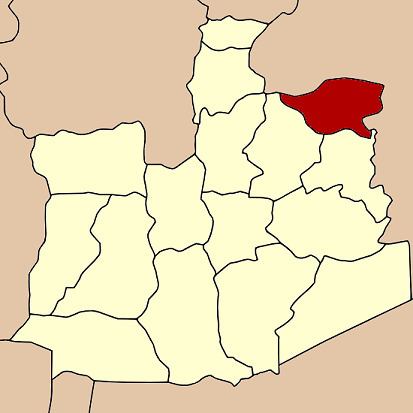
Map of Tha Ruea District, Phra Nakhon Si Ayutthaya, Thailand
History
The original name of the district was Nakhon Noi. In 1916, it was renamed Tha Ruea to commemorate an important event within the district. When the hunter Bun found the Buddha's footprint in Sara Buri Province, King Songtham travelled by royal barge along the Pa Sak River to worship. He moored his royal barge in the district, and continued his travel overland. His route has since become a royal tradition, as later kings always travelled by this way to worship Buddha's footprint in Wat Phra Phutthabat. The Thai word "tha ruea" means "port" or "pier".
Geography
Neighboring districts are (from the north clockwise) Don Phut, Ban Mo, Sao Hai, Nong Saeng of Saraburi Province, and Phachi and Nakhon Luang of Ayutthaya Province.
Administration
The district is divided into 10 sub-districts (tambon), which are further subdivided into 84 villages (muban).