
Country Thailand Time zone ICT (UTC+7) Area 340.8 km² Geocode 7105 | Seat Tha Maka Postal code 71120 Province Kanchanaburi Province | |
 | ||
Tha Maka (Thai: ท่ามะกา) is the southeasternmost district (amphoe) of Kanchanaburi Province, central Thailand.
Contents
Map of Tha Maka District, Kanchanaburi, Thailand
Geography
Neighboring districts are (from the west clockwise) Tha Muang, Phanom Thuan of Kanchanaburi Province, Song Phi Nong of Suphanburi Province, Kamphaeng San of Nakhon Pathom Province, and Ban Pong of Ratchaburi Province.
The important water resource is the Mae Klong River.
History
Tha Maka was originally part of Ratchaburi Province, and named Lat Bua Khao (ลาดบัวขาว). In 1903 it was renamed Phra Thaen (พระแท่น), In 1917 it received its current name, Tha Maka. In 1937 the district was reassigned to Kanchanaburi, with only the sub-district Lat Bua Khao changed to Ban Pong and remaining in Ratchaburi.
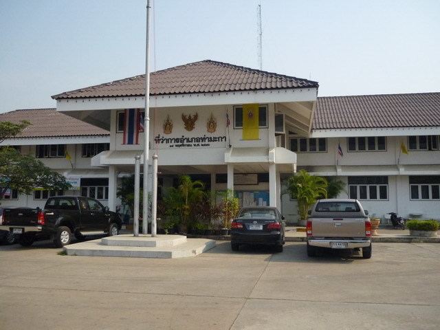
Administration
The district is divided into 17 sub-districts (tambon), which are further subdivided into 153 villages (muban). Tha Ruea Phra Thaen is a town (thesaban mueang) and covers the whole tambon Tha Ruea and parts of Takhram En. There are five townships (thesaban tambon) in the district. There are 15 tambon administrative organizations (TAO).