
Country Thailand Time zone ICT (UTC+7) Area 683 km² Province Loei Province | Seat Tha Li Postal code 42140 Population 27,117 (2005) Geocode 4208 | |
 | ||
Tha Li (Thai: ท่าลี่; [tʰâː lîː]) is a district (amphoe) in the northwestern part of Loei Province, northeastern Thailand.
Contents
Map of Tha Li District, Loei 42140, Thailand
Geography
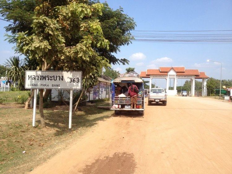
Neighboring districts are (from the northeast clockwise) Chiang Khan, Mueang Loei and Phu Ruea of Loei Province. To the northwest is the Xaignabouli Province of Laos.
The northwestern part of the district reaches the southern end of the Luang Prabang Range mountain area of the Thai highlands.
Administration
The district is divided into six sub-districts (tambon), which are further subdivided into 41 villages (muban). Tha Li is a township (thesaban tambon) which covers parts of the tambon Tha Li. There are a further five tambon administrative organizations (TAO).
References
Tha Li District Wikipedia(Text) CC BY-SA