
Country Vietnam Capital Thái Nguyên Calling code 280 | Region Northeast Time zone ICT (UTC+7) ISO 3166 code VN-69 | |
 | ||
Thái Nguyên ( listen) is a province in the Northeast region of Vietnam. It is a mountainous, midland province with a natural land area of 3534.45 square kilometres and a population of 1,149,100 as of 2008. Its multi-ethnic society is composed of eight ethnic groups.
Contents
- Map of Thai Nguyen Vietnam
- Etymology
- Geography
- Climate
- Soil structure
- Administrative divisions
- Demographics
- Economy and development
- Irrigation and hydroelectric power
- Transport
- Attractions
- Historical Safe Zone
- References
Map of Thai Nguyen, Vietnam
With its rich mineral resources and salubrious climate, the province offers significant opportunities for industrial development for both domestic and foreign investors. Thái Nguyên is also known as an educational centre and ranks 3rd nationwide, having 21 universities and colleges. The province is also the centre of tea industry in the country with an area of 16,000 ha. (second only to Lâm Đồng) with a production of 100,000 tonnes/year. Its dried tea production is 25,000 tonnes/year. The tea produced here is considered to have the finest quality throughout Vietnam.
Etymology
The province's name was derived from Sino-Vietnamese 太原.
Geography
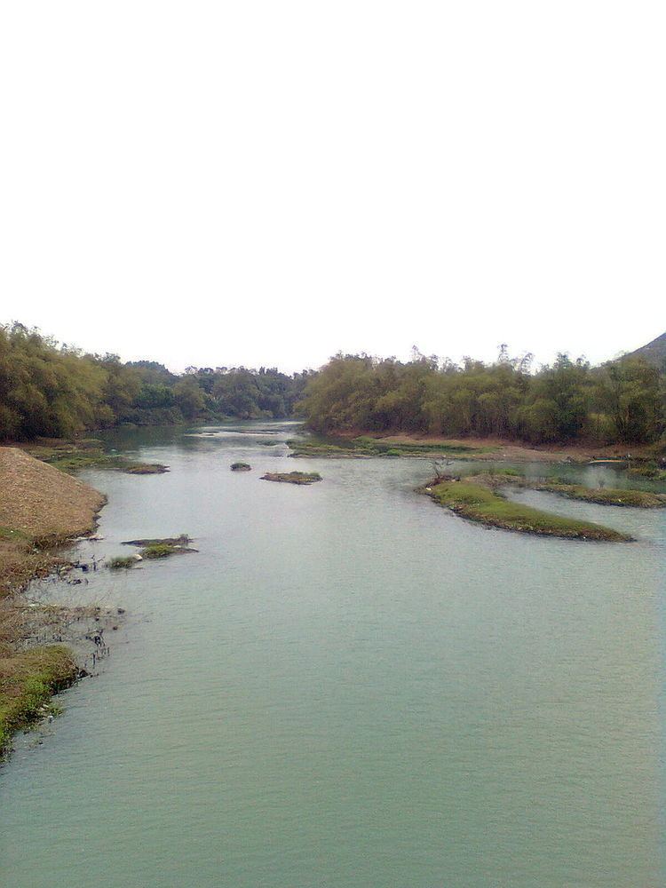
Thái Nguyên borders six provinces: Bắc Kạn, Vĩnh Phúc, Tuyên Quang, Lạng Sơn, Bắc Giang, Hanoi. Thái Nguyên also borders the Vietnamese capital of Hanoi to the south. Thái Nguyên is the gateway for socio-economic exchange with the Red River delta. The exchange is carried out via road, rail and waterways in the province Main water features include the Công River and Núi Cốc Lake.
Thái Nguyên has many mountain ranges running from south to north. The structure of them is made of strongly decayed rocks with many caves and valleys. In the southwest is the Tam Đảo mountain range, located on the northern fringe of the Red River Delta. The range spans some 80 kilometres, with its highest peak of 1,529 metres (note other sources state 1590 or 1592 metres) and many cliffs running from northwest to southeast.
The Tam Đảo mountain region is protected by the Tam Đảo National Park, established in 1996, which is one of the largest national parks in the country. There are over 20 peaks with the park area, others of note include Thien Thi at 1375 m, Thach Ban at 1388 m and Phu Nghia at 1300 m. Sharp peaks with sloping sides and numerous, deep partitions are characteristic of the topology. The boundary of the national park is located at an altitude of 100 m around the Tam Đảo range. There is a larger buffer zone (which has area of approximately 535 km2) which surrounds the national park which has an altitude below 100 m. Seventy per cent of the area of the park is covered by natural and artificial forest. The natural forest is about 220 km2 and the human altered forest is about 30 km2
There are two other mountain ranges in the province, both running in a northwest-southeast direction; the Ngan Son range running from Bắc Kạn to Võ Nhai District and the Bac Son range. Many of the mountains of Thái Nguyên Province provide shelter for a considerable part from monsoon winds.
Climate
With terrain sloping from high mountains to the low zones and midlands, in terms temperature in winter, Thái Nguyên has three climatic sub-zones. A cold sub-zone in Võ Nhai District, a temperate subzone including Định Hóa, Phú Lương and southern Võ Nhai districts and a warm subzone which includes Đại Từ, Đồng Hỷ, Phú Bình, Phổ Yên districts, Thái Nguyên City and Sông Côngtown.
The average temperatures in the hottest and the coldest months are 28.9 °C in June and 15.2 °C in January. The lowest recorded is 13.7 °C. Total number of sunny hours in a year is ranges between 1,300 and 1,750, which is equally distributed for months in a year. The climate of Thái Nguyên has two distinct seasons: the rainy season from May to October and dry season from October to May. The average rainfall per annum lies in the range of 2,000 to 2,500 mm; it rains most in August and least in January. Generally speaking, Thái Nguyên's climate is favourable for developing agriculture and forestry.
Soil structure
The total land area is 3,534.45 square kilometres (1,364.66 sq mi) and can be divided into three classes. Mountainous land accounts for 48.4% area and is formed from the decaying of magma, rocks and sedimentary rock. Hilly land accounts for 31.4% area and is made of condensed sand, clay and ancient alluvia. Hill land in some places such as Đại Từ, Phú Lương is 120 to 200 metres high and more with a sloping gradient of 5° to 20° and is an ideal place for planting industrial crops and perennial fruit trees. Field land accounts 12.4%, a part of which is scattered along streams and can be easily exposed to severe meteorological conditions (such as sudden floods and droughts) and is difficult to harvest. Of the total land area, 2,207.89 km² (65.22% of natural area) are used and 1,096.69 km² (30.78% of natural area) are unused. Of unused land area, only 17.14 km² area is cultivable; bare land and deserted hills occupy 412.5 km². A major problem faced by Thái Nguyên Province is to recover deserted areas.
Administrative divisions
Thái Nguyên is subdivided into 9 district-level sub-divisions:
They are further subdivided into 13 commune-level towns (or townlets), 142 communes, and 25 wards. Of the 180 total communes within the province, only 125 of them are within highland and mountainous regions; the rest are within plains and midlands regions.
Demographics
According to the General Statistics Office of the Government of Vietnam, the population of Thái Nguyên province as on 2008 was 1,149,100 with a density of 325 persons per km2 over a total land area of 3,534.45 square kilometres (1,364.66 sq mi) of the province. The male population during this period was 562,900 with females accounting for 586,200. The rural population was 871300 against an urban population of 277800 (31.88% of the total population).
There are many ethnic groups in Thái Nguyên Province, of which 8 main ethnic groups are Kinh, Tày, Nùng, Sán Dìu, H'Mông, Sán Chay, Dao, and Hoa. Demographic distribution varies greatly: population density in the highlands and mountainous regions is low, while that of urban areas is very high. Vo Nhai District has lowest population density with 72 inhabitants/km² and Thái Nguyên city has the highest with 1,260 inhabitants/km².
Economy and development
Farming, aquaculture and industries are some of the important economic activities of the province. In 2008, as against the national figure of 7,592 cooperatives of Agriculture, Forestry and Fishery cooperatives, there are only 83 agriculture cooperatives in the province. There were 638 farms as against the national number of 120699 in 2008. The output value of agriculture produce at constant 1994 prices in the province was 1667.1 billion đồngs against the national value of 156681.9 billion dongs. The province produced 410400 tonnes of cereals as against the national production of 43.68 million tonnes. The per capita production of cereals in the province was 356.9 kg as against the national figure of 501.9 kg in 2007. In 2007, the industrial output of the province was a meagre 11987.5 Bhilldongs against the national output of 1.47 million Bhilldongs.
The economy of the province is largely dictated by its capital city, Thái Nguyên, which is the fastest growing city of North Vietnam. The city is the gateway to northwest Vietnam. It is famous for its tree plantations. Its historical importance is due to the fact that Ho Chi Minh resided here in the Phu Dinh village of Dinh Hoa district when he planned Dien Bien Phu. Before he moved to Hanoi, he came here from Tan Trao and declared independence. The city is also the centre of heavy industries of northern Vietnam. Thái Nguyên Iron and Steel Company (TISCO), which is located in Thái Nguyên city, is one of Vietnam's top 20 state-owned companies, and has made a sizable contribution to Vietnam's economy. The city is located on the bank of the Cầu River has a geographical area of approximately 17,707 hectares (43,750 acres) and its population was 228,064 in 2005.
Irrigation and hydroelectric power
Núi Cốc reservoir is 25 km west of Thái Nguyên city. It covers an area of 2,500 hectares (6,200 acres) with 23 metres (75 ft) deep waters that can store 175 million cubic metres. The lake waters feeds an irrigation canal and a small hydroelectric power station with 3 units of 630 KW capacity each, for a total output of about 2 GWh. The irrigation system was built in 1977. However, the power plant construction on the irrigation canal was started in Jan 2008 and the plant commissioned in Jan 2010. A 22 kV transmission line carries the power to a nearby grid.
Transport
Two railway lines serve Thái Nguyên Province, and particularly the city of Thái Nguyên. The first line connects Hanoi Railway Station to Quán Triều Railway Station (Quán Triều Ward), and the second connects Lưu Xá Railway Station (Phú Xá Ward) to Hạ Long Railway Station, Hạ Long, via a railway junction at Kép in Bắc Giang Province. Both lines were built after the First Indochina War; unlike most railway lines in Vietnam, which were established in metre gauge, the 163 km (101 mi) Luu Xa–Hạ Long line was built at standard gauge, and the 75 km (47 mi) Hanoi–Quán Triều line was built at mixed gauge. The rail spur connecting Luu Xa and Kép was a strategic line constructed between October 1965 and December 1966 by a railroad engineering division of the Chinese People's Liberation Army, who operated in North Vietnam repairing railway lines at the request of Ho Chi Minh.
Attractions
There are several tourist attractions in the province. Some of the ones outside the capital city are listed below.
Núi Cốc Lake is the most popular attraction. Tour boats circle the lake, recounting local legends and visiting some of the 89 islands within it. Several islands feature historic remains, protected breeding sites for birds, or feral goats. In March 2007, an eco-tourism park was developed beside the lake. It features musical fountains, an animal park, and a Fairy Tale House Underworld and Water park.
Phuong Hoang (Phoenix) cave is one of the largest caves in Vietnam, located at a distance of 40 km from Thái Nguyên city. The cave has four chambers where stalagmite and stalactite formations can be seen. Two of the caves admit some sunlight when the sun is at the right angle. Otherwise, artificial light is required to see the Hisinterior.
Historical Safe Zone
Historical Safe Zone (An toàn khu - ATK) locates in Định Hóa district. This was the place where president Ho Chi Minh had lived for several years in The Resistance War against France (1945 -1954)
Besides its famous tea, the province is known for such local culinary specialties as bún chả and phở noodle dishes, Định Hóa rice, Dầy cake, and hill chicken. But its most famous food is Bánh chưng from Bờ Đậu village about 10 km north of Thái Nguyên City in Phú Lương District, where both sides of the road are lined with shops selling the local specialty made from glutinous rice cake, mung bean puree, and pork wrapped in aromatic leaves (usually Stachyphrynium placentarium, sometimes banana) and tied up with string made from a kind of bamboo, which can be used to slice the rice cake into portions for sharing. Tết is the village's busiest season.