
Existed: 1986 – present Length 1.889 km | East end: Loop 20 in Laredo Constructed 1986 | |
 | ||
West end: Arkansas Boulevard in Laredo | ||
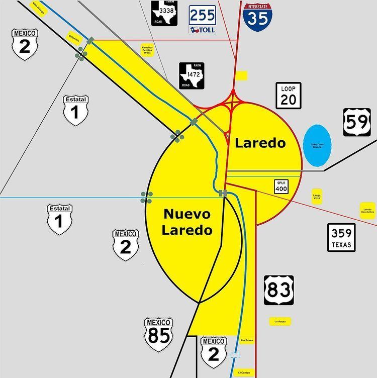
Spur 400 is the state highway designation for the eastern portion of Clark Boulevard, from Arkansas Blvd to Loop 20, in Laredo, Texas. Spur 400 is a four-lane roadway, and is 1.174 miles (1.889 km) long.
Contents
Map of TX-400 Spur, Laredo, TX, USA
Route description
Spur 400 begins at an intersection with Arkansas Boulevard in Laredo, Webb County, heading east on Clark Boulevard, a four-lane divided highway. The road heads east through residential areas with some businesses. Farther east, the highway passes commercial establishments before heading into an area of fields and crossing Chacon Creek. Spur 400 enters an area of businesses and reaches its eastern terminus at Loop 20.
History
Spur 400 was designated onto Clark Boulevard in 1986. It has remained on its current alignment since.
Major intersections
The entire route is in Laredo, Webb County.