
Existed: 1926 – present Length 75.33 km | Constructed 1926 | |
 | ||
East end: LA 1 at the Louisiana state line | ||
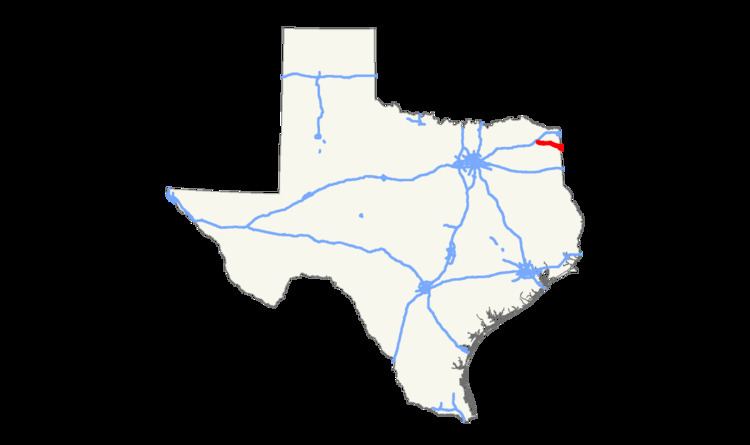
State Highway 77, or SH 77, is a numbered state highway in Texas, occupying the counties of Morris and Cass. SH 77 is 46.815 miles (75.341 km) long, and connects U.S. Highway 259 to the eastern state line. It begins four miles (6 km) north of Omaha on US 259, and travels eastward to Naples, meeting U.S. Highway 67 and State Highway 338. In Douglassville, SH 77 intersects State Highway 8. After cutting across the south side of Atlanta, where it meets U.S. Highway 59 (Future Interstate 369), SH 77 cuts to the southeast, and crosses into the very northwest corner of Louisiana, becoming Louisiana Highway 1. SH 77 was originally proposed in 1926 as a route from Douglasville to Naples, replacing SH 1B. By 1933, SH 77 extended southeast to Louisiana, replacing a portion of SH 47. It was originally planned to travel farther west to Commerce, but this plan was cancelled in 1941. In 1966, SH 77 was extended west over FM 2880 from US 259 to US 67.