
Existed: before 1933 – present Length 90.41 km | ||
 | ||
South end: US 281 / US 380 / SH 114 / SH 199 at Jacksboro | ||
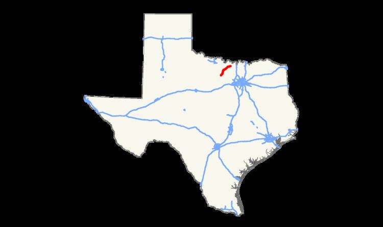
State Highway 59 or SH 59 is a state highway that runs from Jacksboro to St. Jo in Texas.
Contents
Map of TX-59, Texas, USA
History
The original SH 59 was designated by 1926 between Palacios and Midfield. By 1928, this route was transferred to SH 58. By 1933, SH 59 was designated again between Bowie and Montague, with a proposed extension north to Nocona. By 1939, it was rerouted, so instead of going north from Montague to Nocona, it ran east from Montague to Saint Jo. In 1945, it was extended further south to near Jacksboro, with the final extension into Jacksboro in 1968 over previous SH 24, which had been rerouted farther south.
References
Texas State Highway 59 Wikipedia(Text) CC BY-SA