
Existed: by 1938 – present | West end: SH 25 Length 17.97 km | |
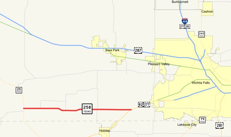 | ||
East end: US 82 / US 277 southwest of Wichita Falls | ||
State Highway 258 (SH 258) is a short state highway in northern Texas.
Contents
Map of TX-258, Texas, USA
Route description
SH 258 begins at SH 25 in the rural community of Kadane Corner. The highway runs eastward, just north of the Archer County line. The route ends at a junction with US 82 / US 277 southwest of Wichita Falls.
History
SH 258 route was designated by 1938 along its current route.
Major intersections
The entire route is in Wichita County.
References
Texas State Highway 258 Wikipedia(Text) CC BY-SA