
Existed: before 1939 – present | Length 96.6 km | |
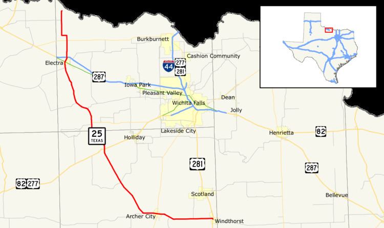 | ||
State Highway 25, or SH 25, runs from the Red River north of Haynesville to Windthorst in north Texas. This route was designated by 1926 along a route from Mineral Wells to Oklahoma. By 1928, the route south of Jacksboro became a portion of SH 24. By 1933, the route south of Windthorst became a portion of SH 66, changing it to its current route, with a toll bridge crossing across the Red River into Oklahoma. This crossing is no longer present.
Contents
Map of TX-25, Texas, USA
Branches
SH 25A was a branch from Antelope via Henrietta to Oklahoma. By 1931, the route was renumbered as SH 148.
Previous routes
SH 25 was one of the original 26 Texas highway routes proposed in 1917. The original route was to be from Henrietta to Meridian. By 1926, this plan had been all but abandoned.
References
Texas State Highway 25 Wikipedia(Text) CC BY-SA