
Existed: by 1935 – present | Length 233.7 km | |
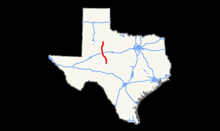 | ||
State Highway 208 or SH 208 is a Texas state highway that runs from San Angelo to southeast of Spur.
Contents
Map of TX-208, Texas, USA
History
The route was originally designated by 1935 from Colorado City to Robert Lee. By 1939, SH 208 extended north to Colorado City. The section from Robert Lee to Colorado City was dropped in 1942, but was reinstated in 1947, when it replaced RM 18. In 1956, the route was extended farther north to Snyder, replacing SH 101. The route was extended further north in 1990 to Spur, replacing Farm to Market Road 948 and Farm to Market Road 1231.
FM 1231 was designated in 1949 as a route from US 84 at Snyder north 8.8 miles to a road intersection. In 1951, FM 1231 extended north to the Kent County Line. Later that year, FM 1231 extended 3 miles further north. In 1952, FM 1231 extended to US 380, replacing FM 1741 from US 380 south 6.1 miles. FM 1231 was cancelled in 1990 and transferred to SH 208.