
Existed: by 1933 – present Length 178.4 km | ||
 | ||
North end: US 180 / FM 51 in Weatherford | ||
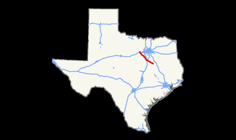
State Highway 171 is a southeast to northwest state route that starts by branching off U.S. Highway 84 in Mexia (southern end) and ends at an intersection with U.S. Highway 180 in Weatherford (northern end).
Contents
Map of TX-171, Texas, USA
Route description
SH 171 begins at an intersection with US 84 in Mexia, before quickly intersecting State Highway 14. Leaving the town, SH 171 runs northwest to Tehuacana, before running in a more west direction to Coolidge. The highway runs in a northwest direction again, running through the towns of Hubbard and Malone before entering Hillsboro. SH 171 runs through the town overlapped with State Highway 22, before running in a mostly north direction towards Cleburne. In Cleburne, SH 171 shares an overlap with State Highway 174 through the city. After crossing US 67 and the Chisholm Trail Parkway, the highway turns back in a more northwest direction towards Godley and Cresson. After Cresson, SH 171 briefly has a run in Hood County before entering Parker County. The highway enters into Weatherfood, where it ends in downtown at an intersection with US 180.
History
The route was originally designated by 1933 along the portion between Hillsboro and Coolidge. By 1939, the route had been extended to the northwest significantly, absorbing portions of SH 2A and all of SH 122.