
Population 10,660 (2011 census) Postcode(s) 4565 LGA(s) Shire of Noosa Local time Thursday 12:18 PM | Established 1871 Area 11.8 km (4.6 sq mi) Postal code 4565 | |
 | ||
Location 7 km (4 mi) W of Noosa Heads Weather 26°C, Wind N at 27 km/h, 91% Humidity Points of interest Sunshine Coast - Queensland, Noosa Regional Gallery, The Big Shell | ||
Tewantin is a suburb in Noosa, Queensland, Australia. It was the original settlement in the Noosa region and is one of its three major centres today. It is within the local government area of Shire of Noosa (between 2008 and 2013 it was within Sunshine Coast Region).
Contents
Map of Tewantin QLD 4565, Australia
History
The name Tewantin is an anglicised version of the Aboriginal name for the area, dauwadhum, meaning place of dead logs. Tewantin was originally a timber town. In 1869, Tewantin was the river port for the Noosa area. In 1871, Clarendon Stuart surveyed a town site for the Tewantin settlement. Tewantin was a thriving small town with a reliance on the gold, fishing and timber industries.
The Tewantin War Memorial commemorates those from the district who served in World War I. It was dedicated in January–February 1922 by Colonel David Elder Reid.
Facilities and layout
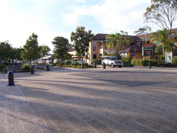
Its main street, Poinciana Avenue, leads to the Tewantin RSL, which holds a strong legacy towards the Australia's history in war. With an ANZAC Memorial, Poinciana Avenue has a historic pub, the Royal Mail. Poinciana Avenue contains a range of shops, restaurants and a town square.
Tewantin is the current location for the Australian Navy Cadet unit of NTS Sheean. there are multiple RSL and bowls clubs that are facilitated by the locals and these places are all dedicated to the world wars.
Tewantin replaced Pomona on 1 December 1985 as the location of the Noosa Shire Council until 15 March 2008 when the Council was amalgamated with Maroochy Shire and the City of Caloundra to create the Sunshine Coast Regional Council. Tewantin has of 12 April 2013, de-amalgamated from the Maroochy Shire.
Education
Tewantin State School, a primary school that was established in 1875, is located within the suburb.