Coat of arms Flag | Local time Thursday 4:34 AM | |
 | ||
Municipal district Tetyushsky Municipal District Weather -8°C, Wind W at 21 km/h, 78% Humidity | ||
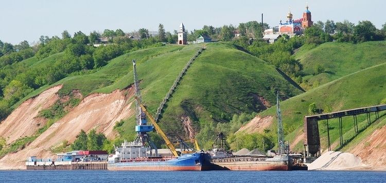
Tetyushi (Russian: Тетю́ши; Tatar: Тәтеш, Täteş) is a town and the administrative center of Tetyushsky District in the Republic of Tatarstan, Russia, located on the right bank of the Volga River, on the shore of the Kuybyshev Reservoir, 180 kilometers (110 mi) from Kazan, the capital of the republic. As of the 2010 Census, its population was 11,596.
Contents
- Map of Tetyushi Republic of Tatarstan Russia 422370
- History
- Administrative and municipal status
- Economy
- Demographics
- Notable people
- References
Map of Tetyushi, Republic of Tatarstan, Russia, 422370
History
It was founded in 1574–1578 or in 1555–1557 as Tetyushskaya zastava (Тетюшская застава). It was granted town status in 1781. In 1920–1927, it served as the administrative center of a kanton. It served as the administrative center of a district since 1930.
The town was the site of a major battle during Stepan Razin's rebellion.
Administrative and municipal status
Within the framework of administrative divisions, Tetyushi serves as the administrative center of Tetyushsky District, to which it is directly subordinated. As a municipal division, the town of Tetyushi, together with two rural localities, is incorporated within Tetyushsky Municipal District as Tetyushi Urban Settlement.
Economy
As of 1997, the town's industrial enterprises included a meat factory, a dairy, a bakery, a brewery, a fish processing, plant, a furniture plant, an animal feedstuff factory, and a branch of the Kazan Helicopters company. The nearest railway station is Bua on the Ulyanovsk–Sviyazhsk line, 45 kilometers (28 mi) west of Tetyushi.
Demographics
As of 1989, the population was ethnically mostly Russian (61.9%), Tatar (20.6%), Chuvash (11.6%), and Mordvin (5.1%).
