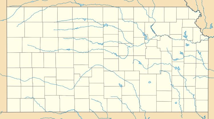
Country United States County Greenwood GNIS feature ID 0484837 Local time Wednesday 5:25 PM | State Kansas Time zone CST (UTC-6) Elevation 491 m | |
 | ||
Weather 17°C, Wind S at 24 km/h, 70% Humidity | ||
Teterville is a ghost town in Greenwood County, Kansas, United States. It is located approximately 11 miles east of Cassoday. No buildings remain of this former community.
Contents
Map of Teterville, Salem, KS 66862, USA
History
Teterville was founded as an "oil town" sometime after the Teeter Oil Field was discovered around 1920. The oil field was named in honor of James Teter who owned about 6900 acres of land in Greenwood County. A post office was opened in Teterville in 1927, and remained in operation until it was discontinued in 1962.
Points of interest
References
Teterville, Kansas Wikipedia(Text) CC BY-SA
