
County Tipton Time zone Eastern (EST) (UTC-5) Elevation 278 m | State Indiana ZIP code 46072 Local time Wednesday 6:25 PM | |
 | ||
Weather 14°C, Wind E at 26 km/h, 56% Humidity | ||
Tetersburg is an unincorporated community in Jefferson Township, Tipton County, in the U.S. state of Indiana.
Contents
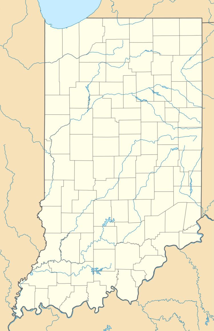
Map of Tetersburg, IN 46072, USA
It is part of the Kokomo, Indiana Metropolitan Statistical Area.
History
Tetersurg was laid out, but never platted, over the land of two farms, Mahlon Farm and a farm owned by Asa Teter, in 1848. The first house built in Tetersburg was a log cabin built by Tansy and Cumbaugh. The oldest religious congregation in the county, a Christian church, was founded in Tetersburg in 1849. In 1875, the LaFayette, Muncie and Bloomington Railroad was built one mile north of Tetersburg. The effects of the railroad being built north of Tetersburg was described by historian Marvin Pershing as having "effectively killed the town."
A post office was established at Tetersburg in 1849, and remained in operation until it was discontinued in 1879.
Geography
Tetersburg is located at 40°16′31″N 86°09′04″W.