
Elevation 165 m | Area 18.01 km² | |
 | ||
Ve kono n mega oldies party 16 apr l nedela kd tes rske mly any
Tesárske Mlyňany is a village and municipality in Zlaté Moravce District of the Nitra Region, in western-central Slovakia.
Contents
- Ve kono n mega oldies party 16 apr l nedela kd tes rske mly any
- Map of 951 76 TesC3A1rske MlyC588any Slovakia
- History
- Geography
- Sister Cities
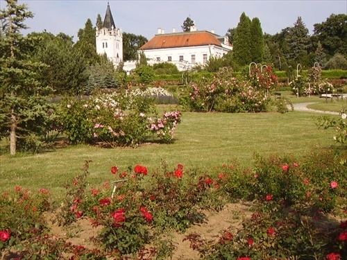
- Culture and attractions
- References
Map of 951 76 Tes%C3%A1rske Mly%C5%88any, Slovakia
History
The town was originally formed by association of two previously separate villages, Tesáre nad Žitavou and Mlynany. Tesárske means Carpenter and so its name means Carpenter over the Zittau River and is among the oldest settlements in the region, first recorded as a settlement of Tazzari in 1075AD although Archaeological findings show settlement since the 9th century. Mlynany is first recorded as Malonian in 1209AD. Both names come from craft focus of its inhabitants.
Geography
The village lies in the Zittau upland, on both banks of the Zittau river, about 4 km south of the town of Zlaté Moravce. Nitra is the nearest large town. The village is accessed by the R1 expressway and I/65 road, leading north-south. The population is 1787 and has an area of 18km² The municipality lies at an altitude of 170 metres and covers an area of 18.007 km². In 2011 it had a population of 1683 inhabitants.