
Time zone EET (UTC+2) Elevation 140 m Postal code 17410 Province Çanakkale | District Çan Licence plate 17 Population 2,072 (2013) Area code 0286 | |
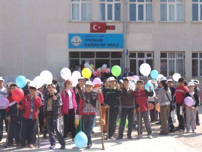 | ||
Terzialan is a belde (town) in Çan district of Çanakkale Province, Turkey. At 39°58′N 27°01′E it is 9 kilometres (5.6 mi) south of Çan and 75 kilometres (47 mi) east of Çanakkale. The population of Terzialan was 2072 as of 2013. The settlement was founded by the Muslim refuges from Eskicuma village near Razgrad, Bulgaria during the Russo-Turkish War (1877-1878). The former name of the settlement was Çakmabayır. But in the 20th century it was named Terzialan, which means "tailor's area" referring to itinerant tailors who performed in the settlement during the market days. In 1994, a nearby village named Süleköy was merged to Terzialan and Terzialan was declared a seat of township.
Map of Terzialan, Terzialan Belediyesi%2F%C3%87an%2F%C3%87anakkale, Turkey
References
Terzialan Wikipedia(Text) CC BY-SA