
Area 579.7 km² | Time zone EET (UTC+2) Population 17,458 (Dec 2009) | |
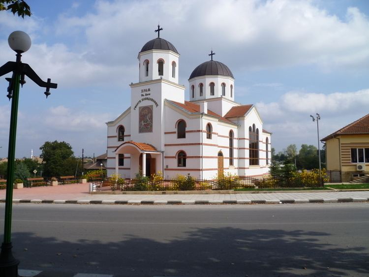 | ||
Tervel Municipality (Bulgarian: Община Тервел) is a municipality (obshtina) in Dobrich Province, Northeastern Bulgaria, located in Southern Dobruja geographical region, about 30 km south of Danube river. It is named after its administrative centre - the town of Tervel.
Contents
Map of Tervel, Bulgaria
The municipality embraces a territory of 579.7 km² with a population of 17,458 inhabitants, as of December 2009.
More significant tourist sights in the area include the early Byzantine cave monasteries around the villages of Balik and Brestnitsa dating to the 5th-6th century.
Settlements
Tervel Municipality includes the following 26 places; all of them are villages:
Demography
The municipality has a mixed population consisting mostly of Bulgarians (45.8% according to 2001 census data), Turks (40.7%) and Romani (12.9%).
The following table shows the change of the population during the last four decades.