
Original author(s) Type GIS | Operating system Website www.clarklabs.org | |
 | ||
Stable release TerrSet 18.07 / April 2015 | ||
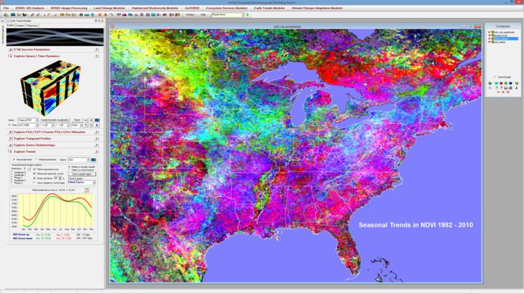
TerrSet (formerly IDRISI) is an integrated geographic information system (GIS) and remote sensing software developed by Clark Labs at Clark University for the analysis and display of digital geospatial information. TerrSet is a PC grid-based system that offers tools for researchers and scientists engaged in analyzing earth system dynamics for effective and responsible decision making for environmental management, sustainable resource development and equitable resource allocation.
Key features of TerrSet include:
History and background
IDRISI was first conceived in 1987 by Prof. J. Ronald Eastman of Clark University, Department of Geography, as an accessible yet robust PC-based GIS. Dr. Eastman continues to be the prime developer and chief architect of the software. In January 2015 Clark Labs released the TerrSet Geospatial Monitoring and Modeling software, version 18. Besides its primary research and scientific focus, TerrSet is popular as an academic tool for teaching the principal theories behind GIS at colleges and universities.
Since 1987, IDRISI, and now TerrSet, has been used by professionals in a wide range of industries in more than 180 countries worldwide. Environmental managers and researchers benefit from the unsurpassed range of geospatial tools—over 300 modules for the analysis and display of digital spatial information.
Based within the Graduate School of Geography at Clark University, Clark Labs and its software tools are known for pioneering advancements in areas such as decision support, uncertainty management, classifier development, change and time series analysis, and dynamic modeling. Partnering with such organizations as The Gordon and Betty Moore Foundation, Google.org, USDA, the United Nations, Conservation International, Imazon and Wildlife Conservation Society.
The software is named after cartographer Muhammad al-Idrisi (1100–1166).
In 2015, Clark Labs released a new product called TerrSet. TerrSet greatly expands the modeling capacity of the base IDRISI toolset.