
Canton Mélisey INSEE/Postal code 70498 /70270 Local time Wednesday 5:28 PM | Time zone CET (UTC+1) Area 25.74 km² Population 519 (2006) | |
 | ||
Region Bourgogne-Franche-Comté Weather 19°C, Wind W at 6 km/h, 37% Humidity | ||
Ternuay melay et saint hilaire top 6 facts
Ternuay-Melay-et-Saint-Hilaire is a commune in the Haute-Saône department in the region of Bourgogne-Franche-Comté in eastern France.
Contents
- Ternuay melay et saint hilaire top 6 facts
- Map of 70270 Ternuay Melay et Saint Hilaire France
- References
Map of 70270 Ternuay-Melay-et-Saint-Hilaire, France
Ternuay lies on the D486 running north from Lure to le Tillot. Together with the villages of Melay and St Hilaire it forms a commune lying between that of Melisey and Sevrance (with its noted waterfalls). There is one restaurant, a branch of the post office by the bridge over the river Ognon, a mobile wood-fired pizza truck that operates by the church regularly. The fountain serves sweet water from the St-Hilaire spring.
Before the end of the commune going north, there is a turn to the right marked "Monument," leading up just over 3km to the site of a Nazi reprisal against resistance fighters during WW2 in which 5 locals were murdered and 10 houses burned.
One burned farmhouse that was restored in 1955 neighbours the old schoolhouse where the resistance had been using when the murderous attack took place. Now known as "Folleterre," the farmhouse is the home of the Eurofaeries, and is owned by association les Amis de Folleterre.
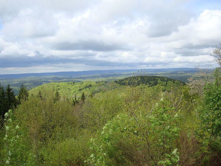
At the beginning of August a commemorative service is held, with a public Mass at the Monument. Regional senators attend from as far away as Epinal. The panorama view is superb.