
Time zone WET (UTC+0) | Irish Grid Reference C166178 | |
 | ||
Weather 16°C, Wind S at 19 km/h, 63% Humidity | ||
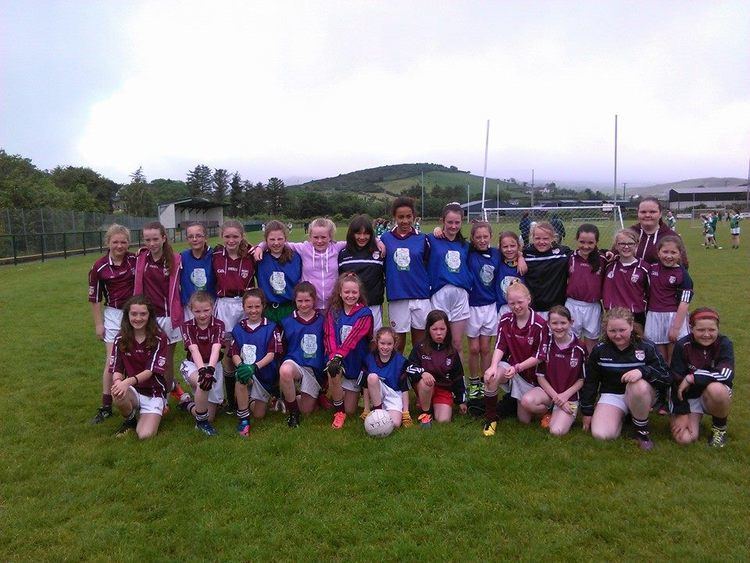
Termon agony
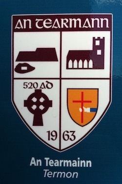
Termon (Irish: An Tearmann, meaning "place of sanctuary") is a village and townland in the north of County Donegal, Ireland.
Contents
- Termon agony
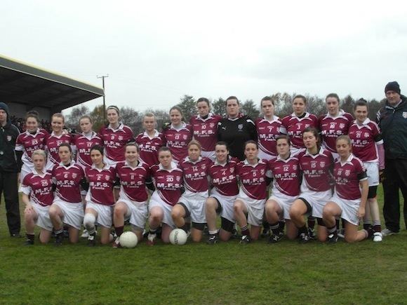
- Termon are ulster champions
- Geography
- Rivers and Loughs
- Transport
- Sport
- Historical sites
- Religious sites
- Doon Well
- Mass Rocks
- Doon Rock
- St Columbas Chapel
- Ethnes Well
- StGlassan
- References
Termon are ulster champions
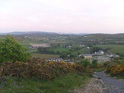
Geography
Termon is located eight miles from Letterkenny, Donegal's main town and seven miles from Creeslough. Termon is made up of many townlands including Currin, Doon, Drumlaurgagh, Drumbrick, Drumoughill, Cloncarney, Terhillion, Gortnalaragh, Clonkilly, Knocknabollan, Fawans, Drumdeevin, Drumfin, Barnes, Stragraddy, Ballybuninabber, Letterfad, Goal and Gurtin, Loughaskerry.
There are several hills close to Termon, including Lough Salt (469m), the hills of Barnes-Crockmore (the "Resting Bishop") at 324m, 349m & 307m respectively, and Stragraddy mountain (285m). All the hills offer stunning vistas along Donegal's Atlantic coast line or into the higher mountain country of Muckish (666m) and Errigal (749m). Going out on the main R255 road one could turn for Gartan, birthplace of St.Colmcille (St.Columba) or head to Glenveagh National Park and its beautiful surroundings.
Rivers and Loughs
Transport
While Termon itself has little or no Public Service Vehicle (PSV) operators it is well serviced by public transport.
Feda O Donnells buses or BusFeda Teoranta pass daily on the N56 en route from and to Galway.
John McGinley bus service passes daily en route from and to Dublin.
Jimmy O Donnell Castleenan provides a taxi service.
Brian Gallagher Gartan provides a minibus service.
The local community center An Craoibhin has a supply of electric powered cycles available for hire. The cycles have a range of 125 miles.
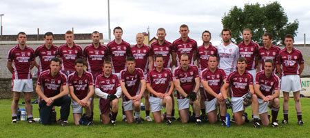
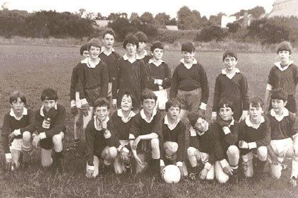
Sport
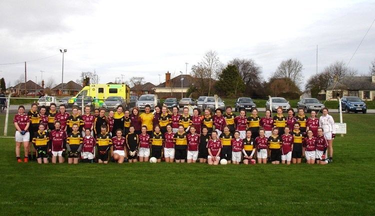
Termon Gaelic Athletic Association was founded in 1963. All age groups play and train at the local pitch "The Burn Road"
Historical sites
Religious sites
Several sites around Termon are significant to the Roman Catholic faith in Donegal.
Doon Well
Doon Well (Irish: Tobar an duin) was established by Lector O'Friel sometime around the 1670s. Doon Well's origins are pre-Christian:
Mass Rocks
The Mass Rocks (Irish: Carraig an Aifreann) were used during penal times (1695–1741). There are thought to be several more in the Termon area and were generally in areas were people could meet, practice their faith and post a look out to warn the congregation. Priests usually said mass under pain of death, if they were caught the priest would find himself put into a barrel of nails and thrown of the cliff near Doon rock at 'Binn an Sagairt' or Hill of the Priest. There is also a mass rock in the Terhillion townland of Termon, Terhillion (Tirkillin) means place of little huts or churchyard. The town land of Fawans has a mass rock which is high up in the townland.
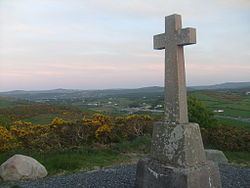
Doon Rock
Doon Rock (120m approx) is the site where 25 O'Donnells were inaugurated chieftain from Eighneachan 1200 to Niall Garbh 1603. Red Hugh O'Donnell was inaugurated on 3 May 1592. Cahir Rua O'Dogherty, a lesser Gaelic chieftain, was defeated here by Sir Arthur Chichester in 1608, after staging a rebellion. This event was a significant influence on the formulation of plans for the plantation of Ulster.
St. Columba's Chapel
Termon is served by St. Columba's Chapel (1854–present). The parish priest is Fr Patrick McHugh.
Ethne's Well
Ethne's Well (Irish: Turas an Ri), in the Barnes townland, is named after Columba's mother. Ethne is strongly associated with the area. This holy well had stations performed on 9 June for nine nights.
St.Glassan
St.Glassan (Irish: Glasny) is a saint of the parish of whom little is known. The "Martyrology of Donegal" gives his feast day as 1 October. The grave of Father Glassan (Frater Cassians) is thought to be in the Stragraddy townland of Termon.