Area 13.64 km² Population 200 (1999) | Canton Châtelus-Malvaleix Time zone CET (UTC+1) Local time Wednesday 1:33 PM | |
 | ||
Weather 18°C, Wind E at 8 km/h, 46% Humidity | ||
Tercillat is a commune in the Creuse department in the Nouvelle-Aquitaine region in central France.
Contents
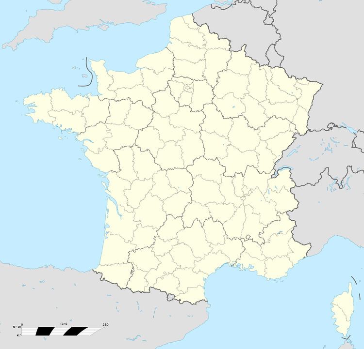
Map of 23350 Tercillat, France
The seignurie of Tercillat was held by the noble family "de Noblet" from approximately 1576 to 1720 or more.
The feudal castle of Tercillat was a Commandery of the Knights Templar and the Order of Malta, consisting of conventual buildings, stables, oven, backyard, a fortified enclosure, towers, pits with the water, a drawbridge, a commandeur lodgings, a chapel, flanked by moats and dungeons. It was destroyed in the French Revolution. The ruins of the castle tower only remains. Le Chateau du Puy was built with stones from the castle.
Geography
A farming area comprising the village and several hamlets situated some 16 miles (26 km) northeast of Guéret, at the junction of the D2, D88 and the D3a roads. The commune borders the Indre département.
