
Country Netherlands Population 9,007 (1 Jul 2006) Local time Wednesday 12:38 PM | Area 21.71 km² Province South Holland Municipality Nieuwkoop | |
 | ||
Weather 13°C, Wind SW at 34 km/h, 81% Humidity | ||
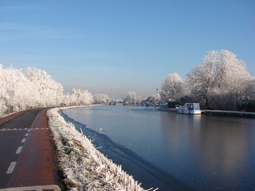
Ter Aar ( [tɛr ˈaːr]) is a town and former municipality in the western Netherlands, in the province of South Holland. It is located about 6 km northeast of Alphen aan den Rijn. The town had a population of 9,007 on 1 July 2006.
Contents
Map of Ter Aar, Netherlands
The area of Ter Aar is divided into two parts by the small canal De Aar. The western, larger part is named Langeraar (Long Aar), the eastern part Korteraar (Short Aar). These are also the names of two villages in the area. In 1788, the former village of Langeraar was destroyed by a flood; a village of that name was rebuilt in the northern part of the area.
At the former location of Langeraar, the new village of Aardam (52°9′57″N 4°42′40″E) was built, near a bridge across the Aar. The Kerkbuurt (Church Neighbourhood, 52°10′15″N 4°42′0″E) was located northwest of Aardam around the reformed church, which was built in 1568. The current village of Ter Aar is built around these two former villages.
North of Aardam, the hamlet Papenveer grew around a ferry across the Aar.
The municipality Ter Aar existed from 1812 to 2007. In 1817, the small municipality of Vrijhoeven was split of; it merged again with Ter Aar in 1841. In 2004, the municipality covered an area of 21.71 km² (8.38 mile²) of which 2.34 km² (0.90 mile²) was water. Its population was 9,010. Ter Aar was merged into the municipality of Nieuwkoop on 1 January 2007.