
Elevation 333 m Population 354 (2006) | Postal code 753 01 Area 3.75 km² Local time Wednesday 12:18 PM | |
 | ||
Weather 17°C, Wind W at 16 km/h, 47% Humidity | ||
Video spot l zn teplice nad be vou a s
Teplice nad Bečvou is a village and municipality (obec) in Přerov District in the Olomouc Region of the Czech Republic.
Contents
- Video spot l zn teplice nad be vou a s
- Map of 753 01 Teplice nad BeC48Dvou Czechia
- L zn teplice nad be vou procitaj hudbou
- Spa
- The aragonite caves
- References
Map of 753 01 Teplice nad Be%C4%8Dvou, Czechia
The municipality covers an area of 3.75 square kilometres (1.45 sq mi), and has a population of 354 (as at 3 July 2006).
Teplice nad Bečvou lies approximately 23 kilometres (14 mi) east of Přerov, 36 km (22 mi) east of Olomouc, and 247 km (153 mi) east of Prague.
L zn teplice nad be vou procitaj hudbou
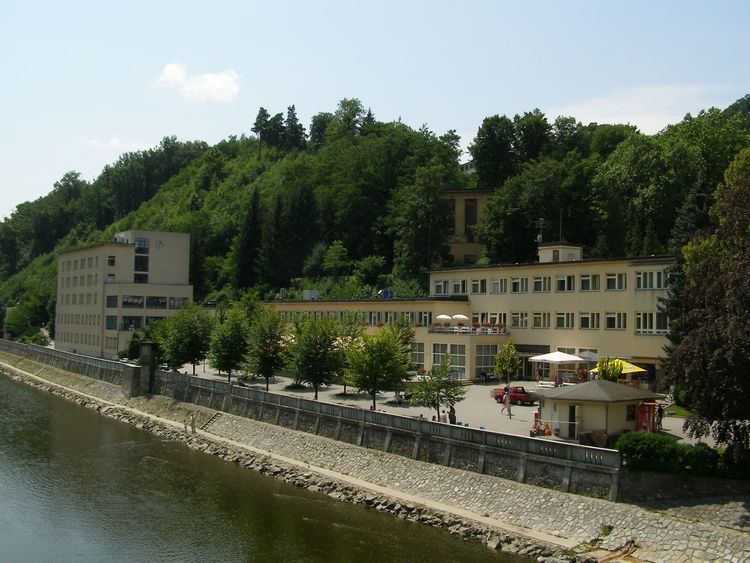
Spa
The town is known primarily as a spa resort, it specializes in cardio-rehabilitation for clients with the emphasis on prevention of heart attacks and strokes. The spas have existed in Teplice nad Bečvou since the 16th century. A unique medicinal mean are baths in the alkali earthy acidulous water with a high content of carbon dioxide.
The aragonite caves
The Zbrašovské aragonite caves are located in the spa district, and are opened to the public. Earlier geysers of hot acidulous water created stalagmites; little shrublets and doughnut shaped aragonite mineral formations can also be observed.