
Area code(s) +387 35 Local time Wednesday 11:46 AM | Time zone CET (UTC+1) Area 29 km² | |
 | ||
Weather 14°C, Wind N at 0 km/h, 35% Humidity | ||
Teočak (Cyrillic: Теочак) is a town and municipality in the northeastern part Bosnia and Herzegovina. Center of the municipality is town of Teočak.
Contents
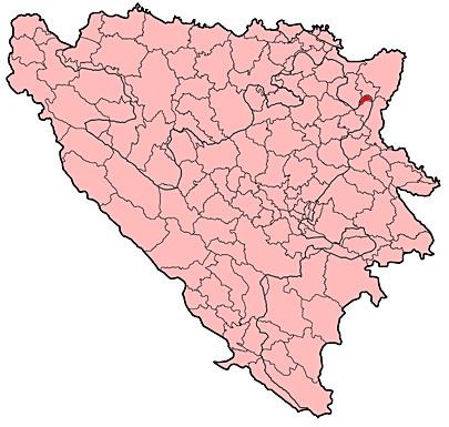
- Map of Teocak Bosnia and Herzegovina
- Geography
- History
- Religion
- Demographics
- Demographics 1991 census
- References
Map of Teocak, Bosnia and Herzegovina
Geography
The town of Teočak is located north of Kalesija and northeast of Tuzla. It is administratively part of the Tuzla Canton and the Federation of Bosnia and Herzegovina.
History
During the 1990s, due to the Bosnian war, the area of Teočak received several hundred Bosniak refugees from primarily the north and northeast areas of Teočak.
Before the war, Teočak was part of the Ugljevik municipality, and became itself a municipality as part of the Dayton Agreement.
Religion
The total number of mosques in the Teočak municipality is 7.
Demographics
The total population of the municipality of Teočak is estimated at approximately 9,000 inhabitants.