
East end: SR-62 Western Avenue Length 18.8 km | Counties: Knox | |
 | ||
West end: SR-131 Lovell Road/Ball Camp-Byington Road | ||
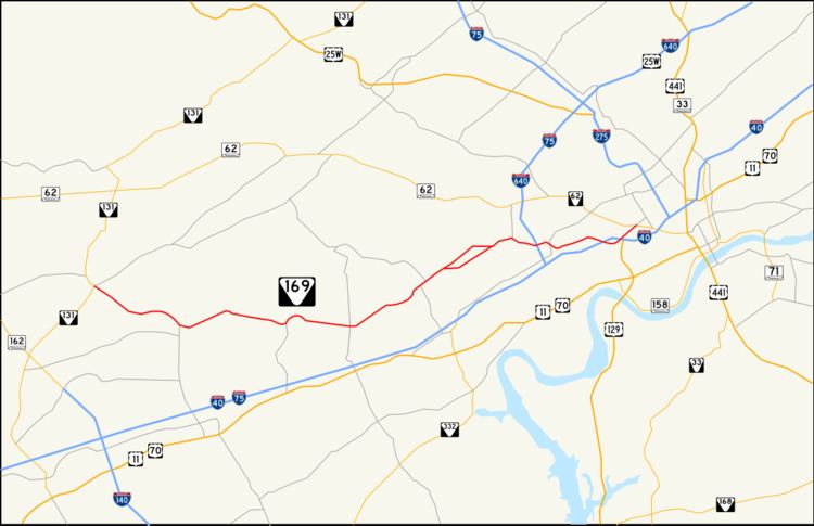
State Route 169 is a west-to-east secondary highway in Knox County in the U.S. state of Tennessee.
Contents
Map of TN-169, Knoxville, TN, USA
The route is 11.7 miles (18.8 km) long. Its western terminus is in west Knox County at Tennessee State Route 131 (Lovell Road/Ball Camp-Byington Road). Its eastern terminus is in Knoxville at Tennessee State Route 62 (Western Avenue). It is known as Middlebrook Pike for the entire length. Although SR-169 passes over I-640/I-75 and under I-40, there are no direct exits with either interstate highway.
After a section from Cedar Bluff Road to Tennessee State Route 131 (Lovell Road) was completed in 2007, the entire length is now four lanes. The majority of the roadway is a median divided highway.
Major intersections
The entire route is in Knox County.
References
Tennessee State Route 169 Wikipedia(Text) CC BY-SA