
Population 736 (2011) Region East Sovereign state United Kingdom Local time Wednesday 4:01 AM District Tendring | OS grid reference TM144241 Country England Post town CLACTON-ON-SEA Shire county Essex UK parliament constituency North Essex | |
 | ||
Weather 11°C, Wind SW at 23 km/h, 85% Humidity | ||
Tendring is the eponymous village and civil parish of the Tendring district of Essex — and before that of the Tendring Hundred. It gave its name to the larger groupings because it was at the centre, not because it was significantly larger than any of the other settlements. The linear village straddles the B1035 connecting Manningtree with Thorpe-le-Soken.
Contents
Map of Tendring, Clacton-on-Sea, UK
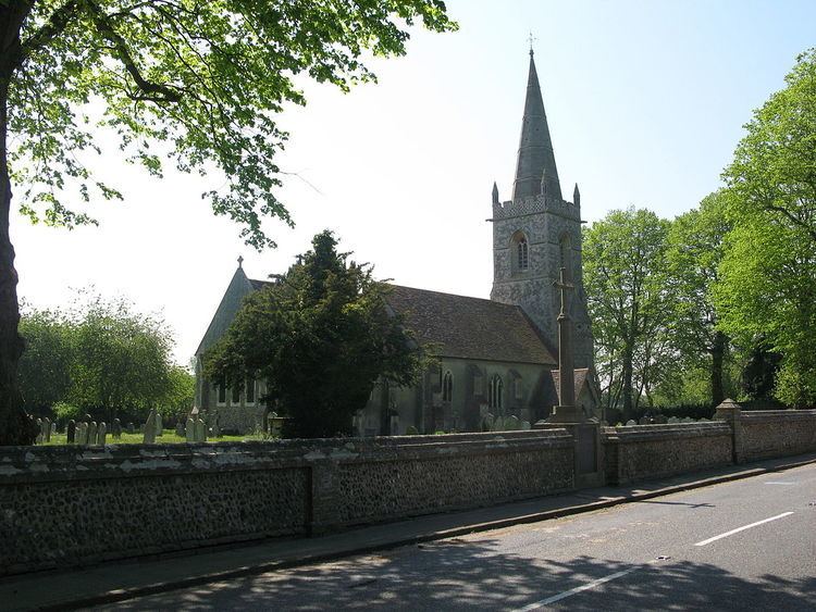
The parish includes the settlements of Goose Green, Tendring Green and Tendring Heath. The church is dedicated to St Edmund. The Tendring Union Workhouse was located at Tendring Heath.
Transport
The village is on the B 1035 road and close to the A120 road. There are bus services to Clacton-on-sea and Colchester.
References
Tendring, Essex Wikipedia(Text) CC BY-SA