
Population approx. 1,000 Sovereign state United Kingdom Dialling code 01761 | OS grid reference ST621580 Local time Tuesday 11:15 PM | |
 | ||
Unitary authority Weather 11°C, Wind S at 24 km/h, 95% Humidity | ||
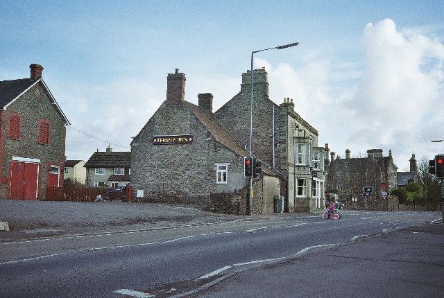
Temple Cloud (grid reference ST621580) is a village within the Chew Valley in Somerset in the Bath and North East Somerset Council area on the A37 road. It is located 10 miles from Bristol and Bath, very close to Clutton. The nearest town is Midsomer Norton [5 miles]. The village of Cameley is also very close.
Contents
- Map of Temple Cloud Bristol UK
- Government and politics
- Demographics
- Church
- Grade II listed buildings
- References
Map of Temple Cloud, Bristol, UK
The Temple in the place name relates to the Knights Templar who held the manors of Cameley and Cloud around 1200. Cloud is thought to come from the personal name Cloda.
There were several coal mines in and around the village as a part of the Somerset coalfield, but these have all since closed.
Government and politics
Temple Cloud is part of the Mendip Ward, which is represented by one councillor on the Bath and North East Somerset Unitary Authority, which has responsibilities for services such as education, refuse, tourism etc. Mendip ward stretches from Temple Cloud to East Harptree. The total population of the ward taken at the 2011 census was 2,683.
The village is a part of the North East Somerset constituency and part of the South West England constituency of the European Parliament.
Demographics
According to the 2001 Census, the Mendip Ward (which includes West Harptree and Hinton Blewett), had 1,465 residents, living in 548 households, with an average age of 39.0 years. Of these 79% of residents describing their health as 'good', 22% of 16- to 74-year-olds had no qualifications; and the area had an unemployment rate of 1.5% of all economically active people aged 16–74. In the Index of Multiple Deprivation 2004, it was ranked at 25,387 out of 32,482 wards in England, where 1 was the most deprived LSOA and 32,482 the least deprived.[1]
Church
Temple Cloud is included in the Anglican parish of Clutton with Cameley.
Its church is located in the centre of the village; built in the 1920s, it was dedicated to St Barnabas in 1926.