
Country Germany Vehicle registration B Area 53.09 km² | State Berlin Time zone CET/CEST (UTC+1/+2) Website Official homepage Team BSC Kickers 1900 | |
 | ||
Points of interest Kaufhaus des Westens, Nature‑Park Schöneberger Südgelände, Tempelhofer Feld, Tauentzienstraße, Rudolph‑Wilde Park | ||
Ein film ber den berliner bezirk tempelhof sch neberg
Tempelhof-Schöneberg is the seventh borough of Berlin, formed in 2001 by merging the former boroughs of Tempelhof and Schöneberg. Situated in the south of the city it shares borders with the boroughs of Mitte and Friedrichshain-Kreuzberg in the north, Charlottenburg-Wilmersdorf and Steglitz-Zehlendorf in the west as well as Neukölln in the east.
Contents
- Ein film ber den berliner bezirk tempelhof sch neberg
- Map of Tempelhof SchC3B6neberg Berlin Germany
- Berlin tempelhof sch neberg going local in germany s capital
- Demographics
- Subdivision
- Politics
- Twin towns
- Sites of interest
- References
Map of Tempelhof-Sch%C3%B6neberg, Berlin, Germany
Berlin tempelhof sch neberg going local in germany s capital
Demographics
As of 2010, the borough had a population of 335,060, of whom about 105,000 (31%) were of non-German origin. The largest ethnic minorities were Turks constituting 7% of the population; Poles at 4%; Yugoslavians at 3%; Arabs at 2.5%; Afro-Germans at 1.5% and Russians at 1.3%.
Subdivision
Tempelhof-Schöneberg consists of six localities as from north to south:
Politics
At the 2011 elections for the parliament of the borough (Bezirksverordnetenversammlung) the following parties were elected:
Twin towns
Tempelhof-Schöneberg is twinned with:
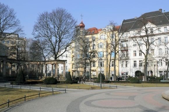
Sites of interest
Wikimedia Deutschland has its offices in Tempelhof-Schöneberg.