
Area 895 km² | Time zone +11 (UTC+11) | |
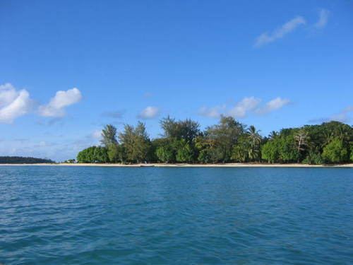 | ||
Solomon islands temotu province
Temotu is the easternmost province of the Solomon Islands. The province was formerly known as Santa Cruz Islands Province. It consists, essentially, of two chains of islands which run parallel to each other from the northwest to the southeast. Its area is 895 square kilometres (346 square miles).
Contents
- Solomon islands temotu province
- Map of Temotu Province Solomon Islands
- Islands
- Population
- Languages
- References
Map of Temotu Province, Solomon Islands
Islands
The islands or island groups which make up the province are:
The provincial capital is Lata, located on Nendö, the largest and most important of the Santa Cruz islands.
Population
The population of 21,362 (2009) is quite diverse for the small land area encompassed. The Santa Cruz Islanders are predominantly Melanesian, although the inhabitants of Tikopia, Anuta, the Duff Islands and some of the Reef Islands are Polynesians.
Languages
The province has given its name to the Temotu languages, a putative linguistic subgroup within the broader Oceanic family of languages.
The languages spoken in the province include all nine Temotu languages proper, plus two Polynesian outlier languages: Vaeakau-Taumako and Tikopia.