
Local time Tuesday 2:44 PM | ||
 | ||
Weather 33°C, Wind W at 13 km/h, 16% Humidity Points of interest Ex Hacienda de Temixco Parque Acuatico, Balneario Ojo de Agua, Azteca | ||
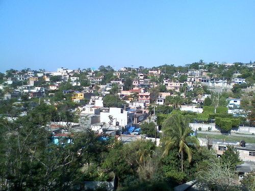
Temixco is the fourth-largest city in the Mexican state of Morelos. It stands at 18°51′N 99°14′W in the west-northwest part of the state.
Contents
Map of Temixco, Morelos, Mexico
The city serves as the municipal seat for the surrounding municipality, with which it shares a name. The city had a 2005 census population of 89,915 persons, while the municipality reported 98,560 inhabitants. The municipality has an area of 87.869 km² (33.926 sq mi).
Temixco is 6 kilometres (3.7 mi) from Cuernavaca and 85 kilometres (53 mi) from Mexico City.
In the 1940s the Comité Japonés de Ayuda Mutua (CJAM; "Japanese Committee of Mutual Aid"), a Japanese mutual aid organization based in Mexico City, obtained a hacienda on 200 hectares (490 acres) of land in Temixco from Alejandro Lacy so it could house newly-arriving Japanese coming from other parts of Mexico. The Japanese had moved in by 1943. A school for Japanese students was established in Temixco to serve those on the hacienda. Eventually Mexican parents began asking for their children to attend the Temixco Japanese school.