
Type settlement Abandoned c. 1250 BC Material Clay | Founded c. 7550 BC Height 2 m | |
 | ||
Area 11 hectares (27 acres), 15–16 hectares (37–40 acres) (with city walls), 4 hectares (9.9 acres) (outer town) | ||
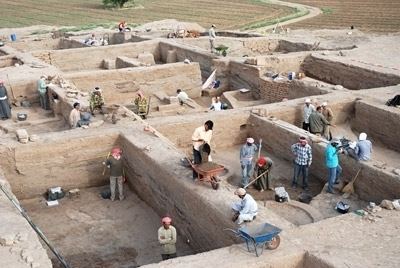
2 tell sabi abyad in syria 2010
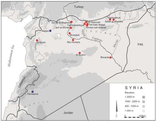
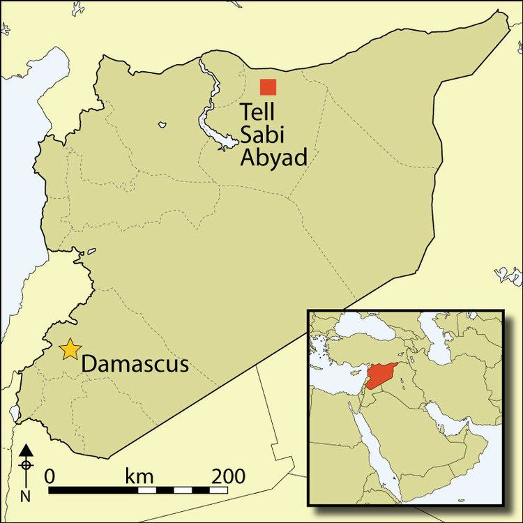
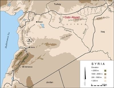
Tell Sabi Abyad (Arabic: تل صبي أبيض) is an archaeological site in the Balikh River valley in northern Syria. The site consists of four prehistoric mounds that are numbered Tell Sabi Abyad I to IV. Since 1986, archaeologist Peter Akkermans has led extensive excavations at Tell Sabi Abyad I, II and III. Surveys were conducted at the fourth mound, but excavations were not possible because of its use as a local cemetery.
Contents
- 2 tell sabi abyad in syria 2010
- 1 tell sabi abyad in syria 2009
- Tell Sabi Abyad I
- Zooarchaeology and archaeobotany
- Pottery
- Clay tokens
- Tell Sabi Abyad II
- References
1 tell sabi abyad in syria 2009
Tell Sabi Abyad I
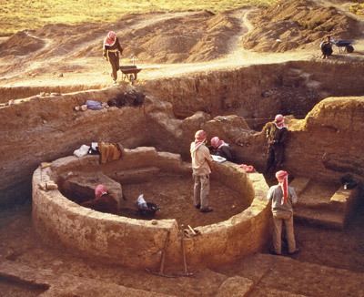
Tell Sabi Abyad I was first occupied between 5200 and 5100 BC during the Neolithic. It showed a later phase of occupation, termed "transitional" by Akkermans, between 5200 and 5100 BC, which was followed by an early Halaf period between 5100 and 5000 BC. Architecture of the 6th-millennium settlement featured multi-room rectangular buildings with round structures called tholoi that were suggested to have been used for storage.
Later remains of a massive structure called the "Fortress" were dated to the Middle Assyrian period (Late Bronze Age) between 1550 and 1250 BC. Domestic buildings were also found, suggesting that the settlement was an Assyrian border town where a garrison was stationed. The Fortress structure contained eight rooms with 2.5-metre-wide (8.2 ft) walls constructed of mud bricks and featured a staircase that led to a second floor.
Zooarchaeology and archaeobotany
In the Halaf period, Tell Sabi Abyad had a fully developed farming economy with animal domestication of predominantly goats, but also sheep, cattle and pigs. A small number of gazelle were also hunted, although evidence for hunting and fishing is not well attested at the site.
Trees that would have grown at the time included poplar, willow and ash.
Domesticated emmer wheat was the primary crop grown, along with domesticated einkorn, barley and flax. A low number of peas and lentils were found compared to similar sites.
Pottery
Pottery found at the site included Dark Faced Burnished Ware and a Fine Ware that resembled Hassuna Ware and Samarra Ware. Bowls and jars often had angled necks and ornate geometric designs, some featuring horned animals. Only around six percent of the pottery found was produced locally.
Clay tokens
The site has also revealed the largest collection of clay tokens and sealings yet found at any site, with over two hundred and seventy-five, made by a minimum of sixty-one stamp seals. Such exchange devices were first found in level III of Mureybet during the Pre-Pottery Neolithic A and are well known to have developed in the Neolithic.
Tell Sabi Abyad II
Tell Sabi Abyad II was started as an offshoot of Sabi Abyad I and measured 75 metres (246 ft) by 125 metres (410 ft) by 4.5 metres (15 ft) high. Artefacts found evidenced a very early occupation not long after the Pre-Pottery Neolithic B horizon with calibrated dates of around 7550 and 6850 BC.