
Highest point Northwestern hills | Highest elevation 66 m (217 ft) Area 15 km² | |
 | ||
Ethnic groups Chileans, German-Chileans Similar Pedro de Valdivia Bridge, Parque Saval, Museo Histórico y Antropoló, Mancera Island, Valdivian Fort System | ||
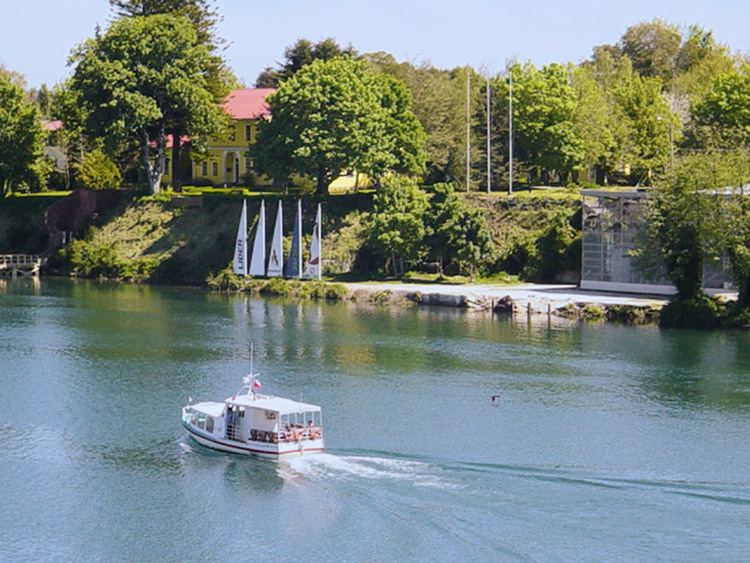
Teja island (Spanish isla Teja) is an island in the city of Valdivia, Chile surrounded by three rivers: Cau-Cau river to the north, Cruces river to the west and Valdivia river to the southeast. Prior to the mid-19th century the islan was known as isla Valanzuela after Francisco de Valenzuela, an encomendero that settled there in 1552. In the second half of the 19th century the island became known for its roof tile (Spanish: teja) and brick factory, hence the name isla Teja. [[Initially it was outside the proper city, but with the arrival of the German immigrants many of them settled there and since 1939 the island is directly connected to downtown Valdivia through the Pedro de Valdivia bridge. A large section of the island's western riverside sank below water level due to the Great Chilean earthquake of 1960.
Map of Teja Island, Valdivia, Los R%C3%ADos Region, Chile
The island holds the main campus of Universidad Austral de Chile and since the construction of Río Cruces bridge in 1987 it became the main route to the neighboring areas of Niebla, Corral and Mancera Island.