
Elevation 479 m (1,572 ft) Local time Tuesday 10:48 AM | Time zone EET (UTC+2) Population 7,728 (2004) | |
 | ||
Weather 17°C, Wind W at 14 km/h, 46% Humidity | ||
Teir Maalah (Arabic: تير معلة, also spelled Teir Maela or Ter Maala) is a town in central Syria, administratively part of the Homs Governorate, just north of Homs. Other Nearby localities include al-Dar al-Kabirah to the southwest, al-Ghantoo to the northwest, Talbiseh to the north and al-Mukhtariyah. According to the Central Bureau of Statistics (CBS), Teir Maalah had a population of 7,728 in the 2004 census.
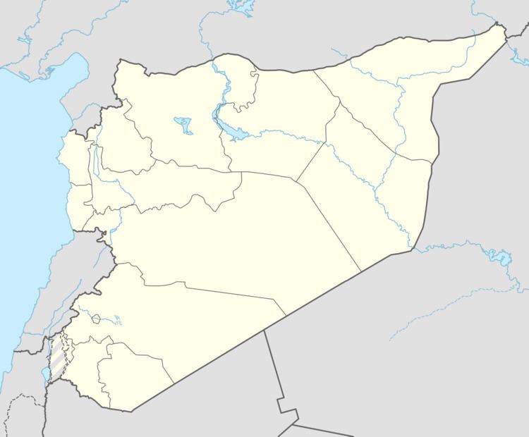
Map of Ter Maela, Syria
The inhabitants of Teir Maalah had frequently joined demonstrations protesting the Syrian government, during the early stages of the Syrian uprising which began in March 2011. According to opposition activists and witnesses, the Syrian Army sealed off the roads leading to Teir Maalah, as well as Talbiseh and al-Rastan, before assaulting the towns with tanks, which resulted in over a 100 wounded.