
Airport type Public Website Official website Code TSP Phone +1 661-822-2220 | Operator City of Tehachapi Elevation AMSL 4,001 ft / 1,219.5 m 11/29 4,031 Elevation 1,220 m | |
 | ||
Address 314 N Hayes St, Tehachapi, CA 93561, USA Similar Tehachapi City Hall, Cameron Canyon Rd at Hw, Mojave Air & Space Port, California Correctio Institution, Mountain Valley Airport‑L94 | ||
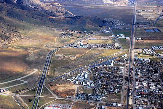
Tehachapi Municipal Airport (IATA: TSP, ICAO: KTSP, FAA LID: TSP) is a public airport located in Tehachapi, serving Kern County, California, USA. This general aviation airport covers 264 acres (107 ha) and has one runway.
The airport was established in 1929 originally to support an air mail route between Tehachapi and Bakersfield, but following the 1952 Kern County earthquake, Tehachapi became inaccessible by roads or rail, and the airport served as the destination for an emergency relief airlift for several weeks. There are hangars and an industrial park on the south side of the airport, and in 2009 the city was planning to begin an expansion of the airport to include a taxiway and hangars on the north side. In 1974, the airport had scheduled passenger airline service operated by Golden West Airlines to Los Angeles (LAX) with de Havilland Canada DHC-6 Twin Otter commuter turboprop aircraft.