
Country Canada Time zone MST (UTC-7) Elevation 650 m | Area 213.8 km² Local time Tuesday 12:38 AM | |
 | ||
Weather -2°C, Wind E at 3 km/h, 87% Humidity | ||
Twisted tea pro rodeo series teepee creek pro rodeo
Teepee Creek is a hamlet in northwest Alberta, Canada within the County of Grande Prairie No. 1. It is located north of Bezanson and east of Sexsmith, at the intersection of Highway 674 and Highway 733.
Contents
- Twisted tea pro rodeo series teepee creek pro rodeo
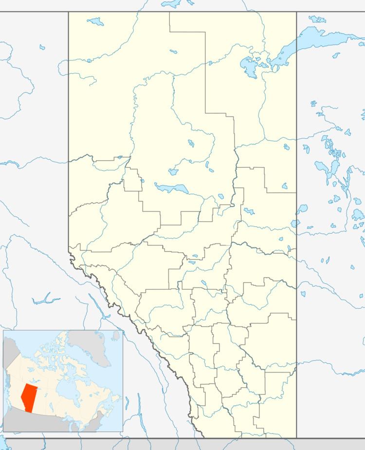
- Map of Teepee Creek AB Canada
- Prairie dusters 2010 teepee creek stampede
- Amenities
- Attractions
- Demographics
- References
Map of Teepee Creek, AB, Canada
The hamlet is located in census division No. 19 and in the federal riding of Peace River.
It was a farming and ranching community that became an oil and gas based economy during the 1980s.
Prairie dusters 2010 teepee creek stampede
Amenities
As of 2006, the community had Teepee Creek School, community hall, fire hall and arena.
Attractions
Teepee Creek is known to most people for its stampede. In the 1960s the stampede was the most popular rodeo in northern Alberta. The first stampede was held in 1917.
Demographics
Statistics Canada has not recently published a population for Teepee Creek.
Industry Canada shows that Teepee Creek's greater rural area had a total population of 230 living in 84 dwellings in 2001. With a land area of 213.8 km2 (82.5 sq mi), its greater rural area has a population density of 19.0/km2 (49/sq mi).