
Elevation 16 m (52 ft) Area 452.2 km² Postal code 97820 | INEGI Code 076 Capital Tecoh Area code 988 | |
 | ||
Time zone Central Standard Time (UTC-6) Major Airport Merida (Manuel Crescencio Rejón) International Airport | ||
Tecoh Municipality is one of 106 municipalities in Yucatán State, Mexico., located 40 km south-east of Mérida, Yucatán. It has a municipal capital of the same name. As of 2003, the city Tecoh had a population of about 8,500 people. Most of the population is Maya. A number of buildings in the town were built atop older Pre-Columbian foundations. "Tecoh" means "Place of the Puma" in the Yucatec Maya language, which is still widely spoken here.
Contents
- Map of Tecoh Municipality YucatC3A1n Mexico
- Communities
- Landmarks
- Architectural
- Archaeological
- References
Map of Tecoh Municipality, Yucat%C3%A1n, Mexico
Most of the farms in Tecoh are used to grow henequen, sugar, corn, and tropical fruit.
Communities
The municipality is made up of 20 communities, of which the most important are:
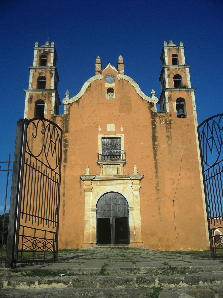
Landmarks
Architectural
Archaeological
The archaeological site of Mayapan.
References
Tecoh Municipality Wikipedia(Text) CC BY-SA