
Length 243 km Country Russia | Source Ozyorsk | |
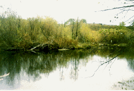 | ||
The Techa River is a river on the eastern flank of the southern Ural Mountains noted for its nuclear contamination. It is about 240 kilometres (150 mi) long, and its basin covers 7,500 square kilometres (2,900 sq mi). It begins at the formerly secret nuclear-processing town of Ozyorsk, Chelyabinsk Oblast about 80 kilometres (50 mi) northwest of Chelyabinsk and flows northeast to Dalmatovo on the Iset River, a tributary of the Tobol River. Its basin is enclosed on the southeast by that of the Miass River, another river that flows northeast into the Iset.
Contents
Map of r. Techa, Ozersk, Chelyabinsk Oblast, Russia
Water pollution
From 1949 to 1956 the Mayak complex dumped an estimated 76 million cubic metres (2.7×10⁹ cu ft) of radioactive waste water into the Techa River, a cumulative dispersal of 2.75 MCi (102 PBq) of radioactivity.
As many as forty villages, with a combined population of about 28,000 residents, lined the river at the time. For 24 of them, the Techa was a major source of water; 23 of them were eventually evacuated. In the past 45 years, about half a million people in the region have been irradiated in one or more of the incidents, exposing them to as much as 20 times the radiation suffered by the Chernobyl disaster victims.