
South Te Atatu South (3.3 km) | ||
 | ||
Southwest Lincoln, Auckland (3.1 km) Northwest West Harbour, Auckland (3.3 km) | ||
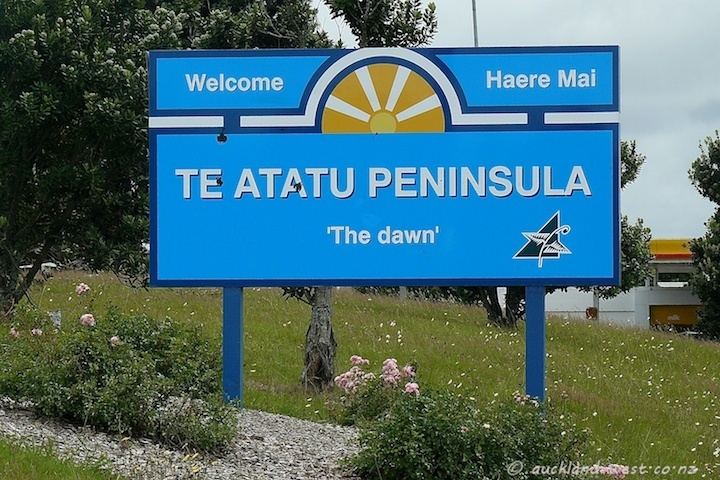
Te Atatu Peninsula, is an Auckland suburb formerly known as "Te Atatu North". The 'peninsula' part was proposed by resident Emi Groot, in the early 1980s to replace 'north' and this was formally adopted in 1997. Te Atatu is Maori for "the dawn".
Contents
- Map of Te Atatu Peninsula Auckland New Zealand
- Te atatu peninsula come see what we have to offer
- References
Map of Te Atatu Peninsula, Auckland, New Zealand
It is located at the western extremity of the Waitemata Harbour, and is flanked by the Henderson Creek to the west and by the Whau River to the east, both estuarial arms of the harbour, which extend southwest from the harbour itself. The relatively flat peninsula thus formed is four kilometres in length and two kilometres in width, and is joined to the main part of the North Island at its southern end. A motorway effectively cuts the peninsula off from the main land and, with only one road in and out, the area has an almost island-like feel. Its population of about 12,000 is closely matched by the population of Te Atatu South, the adjoining suburb on the other side of the motorway.
Te Atatu Peninsula boasts a full complement of amenities including a supermarket, library, community hall, police station, numerous eating establishments, primary and intermediate schools, Rutherford College (named after Ernest Rutherford, the New Zealand scientist recognised for having split the atom) and numerous parks. Te Atatu Intermediate School is near the center of the town and can be found at 36 50'25s 174 39'10e in Google Earth. Te Atatu Peninsula also includes three primary schools, which are: Peninsula Primary School, Matipo Primary School and Rutherford Primary School.