
- elevation 0 ft (0 m) Length 50 km | - elevation 0 ft (0 m) | |
 | ||
The Tchoutacabouffa River is a stream located in Harrison County, Mississippi, at a Latitude of 30.435 and Longitude of -88.99222. The river's mouth is located just north of the city of Biloxi at Biloxi Bay and south of Interstate 10, and it flows approximately 31 miles to the north.
Map of Tchoutacabouffa River, Biloxi, MS, USA
Southern Mississippi art potter George E. Ohr, who worked in the late 19th and early 20th centuries, dug much of the clay he used for his works locally from the Tchoutacabouffa River. Tchoutacabouffa is the Biloxi tribe's word for "broken pot."
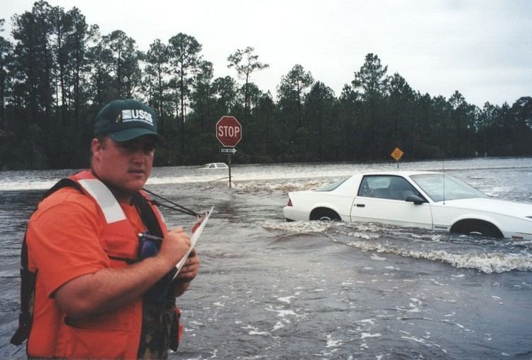
In 2000, the U.S. Geological Survey published the results of a two-dimensional analysis of flood flows at the State Highway 15/67 crossing of the Tchoutacabouffa River.
References
Tchoutacabouffa River Wikipedia(Text) CC BY-SA