Highest elevation 1,380 ft (420 m) | Time zone GMT +3 | |
 | ||
Tayr Harfa (Arabic: طير حرفا ) is a village in Tyre District in Southern Lebanon.
Contents
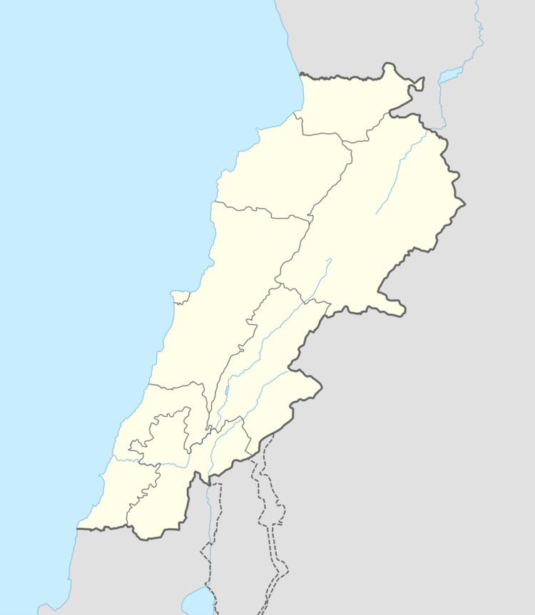
Map of Tayr Harfa, Lebanon
Name
According to E. H. Palmer, the name means "The fortress of Harfa".
History
In 1852, during the late Ottoman era, Edward Robinson noted it on his travels in the region.
In 1875, Victor Guérin found here 200 Metuali inhabitants.
In 1881, the Palestine Exploration Fund's Survey of Western Palestine (SWP) described it: "A stone and mud village, containing about 200 Moslems, on a hill, with olives, figs, and arable land, and waste ground covered with brushwood. Water from cisterns."
References
Tayr Harfa Wikipedia(Text) CC BY-SA
