
Grid position 113/153 L Governorate South Governorate Elevation 850 ft (260 m) | Country Lebanon District Tyre Time zone GMT +3 | |
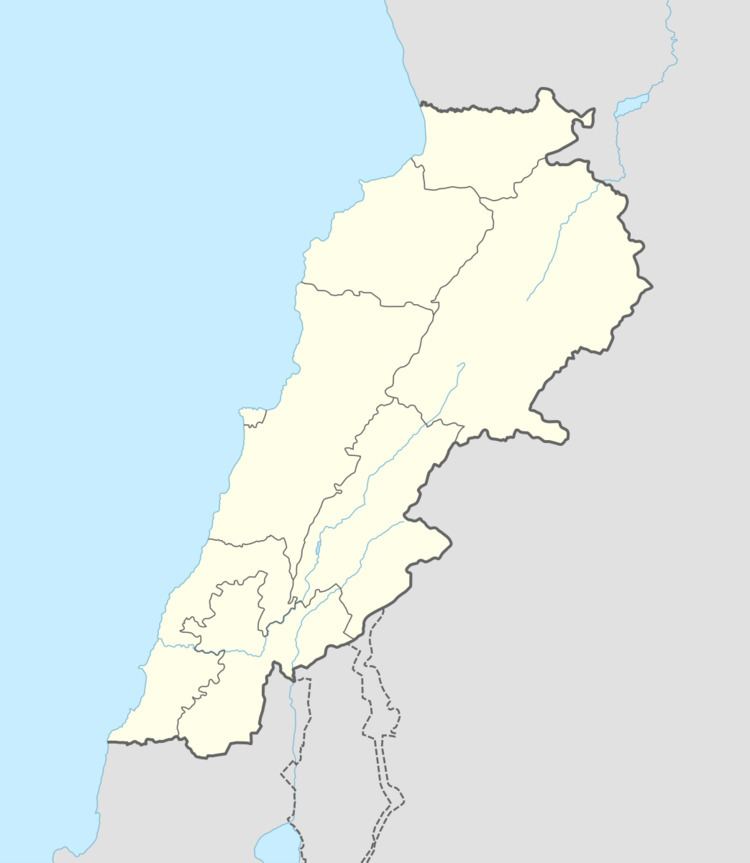 | ||
Tayr Falsay (Arabic: طير فلساي ) is a village in Tyre District in Southern Lebanon, located just south of the Litani river.
Contents
Map of Tayr Felsay, Lebanon
Name
According to E. H. Palmer, the name means the fortress of the scales or small coins.
History
In 1881, the Palestine Exploration Fund's Survey of Western Palestine (SWP) described it: "A village built of stone; about 250 Metawileh; on side of hill near the top, with figs and arable land around. There are two springs, and cisterns."
References
Tayr Falsay Wikipedia(Text) CC BY-SA