
Existed: 1953 – present Length 257.5 km | Constructed 1953 | |
 | ||
South end: AK-2 (Alaska Highway) at Tetlin Junction | ||
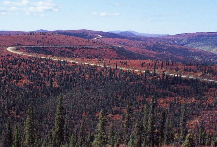
Chicken alaska to dawson city yukon over the taylor highway
The Taylor Highway (numbered Alaska Route 5) is a highway in the U.S. state of Alaska that extends 160 miles (258 km) from Tetlin Junction, about 11 miles (17 km) south of Tok on the Alaska Highway, to Eagle.
Contents
- Chicken alaska to dawson city yukon over the taylor highway
- Map of Taylor Hwy Alaska USA
- Taylor highway alaska
- Route description
- History
- Major intersections
- References
Map of Taylor Hwy, Alaska, USA
Taylor highway alaska
Route description
The first 60 miles (97 km) of the highway are paved; the rest are gravel. The highway is closed to automobile traffic from October through April, but is used by snowmobiles in the winter. The large Fortymile caribou herd roams near the highway. The highway also provides access to the Fortymile River National Wild and Scenic River system.
History
It was built in 1953 to provide access to Eagle, Chicken, and the historic Fortymile Mining District. It connects to the Top of the World Highway 96 miles (154 km) from Tetlin, at Jack Wade Junction, allowing road access to Dawson City, Yukon during parts of the year. It is 79 miles (127 km) from Jack Wade Junction to Dawson City.
Major intersections
The entire route is in Unorganized Borough.