
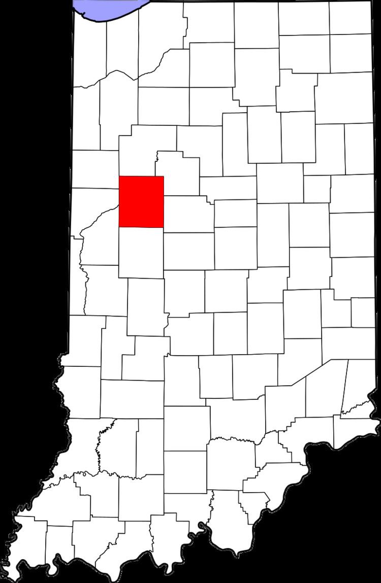
Country United States County Tippecanoe Time zone Eastern (EST) (UTC-5) Elevation 197 m Area code 765 | State Indiana Township Union GNIS feature ID 444580 Zip code 47909 Local time Monday 1:07 PM | |
 | ||
Weather 14°C, Wind SE at 10 km/h, 80% Humidity | ||
Taylor is a small unincorporated community in Union Township, Tippecanoe County, in the U.S. state of Indiana.
Contents
Map of Taylor, Shadeland, IN 47909, USA
History
Beginning in the middle of the 19th century, the town, sometimes referred to as Taylor Station, was a stop along a railroad line that ran south out of Lafayette (variously the New Albany and Salem Railroad, the Louisville, New Albany and Corydon Railroad, etc.). The local post office was known as Farmers Institute, which ran from 1866 to 1899.
Geography
Taylor is located at 40°20′27″N 86°56′01″W at an elevation of approximately 646 feet. It sits near the eastern edge of Union Township and is on a CSX Transportation rail line.
References
Taylor, Indiana Wikipedia(Text) CC BY-SA