
- location Lanark Highlands - location Drummond/North Elmsley Length 95 km Basin area 850 km² Mouth Rideau River | - elevation 162 m (531 ft) - elevation 125 m (410 ft) Basin area 850 km² Source Bobs Lake Province Ontario | |
 | ||
Cities Perth, Tay Valley, Ontario | ||
The Tay River is a river in Lanark County in Eastern Ontario, Canada. It is in the Saint Lawrence River drainage basin and is a left tributary of the Rideau River.
Contents
CourseEdit
For a map showing the river course highlighted on a topographic map, see this reference.
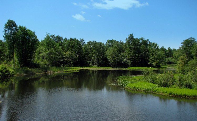
This river starts at Bobs Lake and leaves the lake, controlled by a weir, near the community of Bolingbroke in geographic South Sherbrooke Township, part of the municipality of Tay Valley. It heads northeast, passes under Lanark County Road 36, reaches Christie Lake and passes there into geographic Bathurst Township. It continues northeast, passes under Lanark County Road 6, and divides into two channels; the right channel is known as Scotts Snye. The river then travels through the community of Glen Tay, continuing to Perth. The river splits into two main channels as it flows through downtown Perth. The two channels have recombined by the time it leaves Perth and continues to the Rideau River, which drains via the Ottawa River into the Saint Lawrence River.
The river is 95 kilometres (59 mi) in length and drains an area of 850 square kilometres (330 sq mi). A canal connects the river to the Tay Canal, and Rideau Canal systems at Beveridge Bay on Lower Rideau Lake.
EconomyEdit
A controversy erupted in 2002 when Swiss multinational OMYA applied for a permit to take up to 4,500 cubic metres (158,900 cu ft) of water per day from the river at its Glen Tay calcium carbonate plant. As a result, the permitted amount was reduced to 1,500 cubic metres (53,000 cu ft) per day, subject to review in 2008.
LakesEdit
Lakes in the Tay watershed: Top of Watershed (above north-south railroad line from Oconto to Tichborne) Abbott Danby Leggat Miller Barton Duncan Little Beaver Oconto Carnahan Eagle Little Mud Scanlin Clow Elbow Long Spruce Watson
Middle Watershed (between Oconto/Tichborne Line and Christie Lake) Atwood Davern Little Rock Rainbow Beaver Deer Little Silver Rock (north) Bobs & Crow Doran Little Twins Sucker Buck Bay Farrell Lynn Thompson Pond Burns Pond Green Bay Mud Bay Victoria Christie Lake of the Hills O’Brien Weatherhead Crosby Little Crosby Pike
Below Christie Lake Andrew Mclaren Mud Lke Rock (south) Doctor Mills Otty Thoms Mud