 | ||
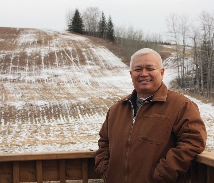
Fast skiing at tawatinaw alberta feb 12 by david cure hryciuk
Tawatinaw is a hamlet in Alberta, Canada within Westlock County. It is located on Township Road 614, 2 kilometres (1.2 mi) east of Highway 2 and approximately 70 kilometres (43 mi) north of the City of Edmonton.
Contents
- Fast skiing at tawatinaw alberta feb 12 by david cure hryciuk
- Map of Tawatinaw AB Canada
- Demographics
- Amenities
- References
Map of Tawatinaw, AB, Canada
Demographics
As a designated place in the 2016 Census of Population conducted by Statistics Canada, Tawatinaw recorded a population of 5 living in 3 of its 3 total private dwellings, a change of 2998500000000000000♠−50% from its 2011 population of 10. With a land area of 0.13 km2 (0.050 sq mi), it had a population density of 38.5/km2 (99.6/sq mi) in 2016.
As a designated place in the 2011 Census, Tawatinaw had a population of 10 living in 4 of its 5 total dwellings, a 0% change from its 2006 population of 10. With a land area of 0.07 km2 (0.027 sq mi), it had a population density of 140/km2 (370/sq mi) in 2011.
Amenities
Tawatinaw Valley Alpine and Nordic Centre is a popular local destination for downhill and cross-country skiing. Spread over 140 acres, there are over 20 km of cross-country ski trails with spectacular views of the historic Tawatinaw Valley and Landing Trail.
Pine Valley Gymnastics Centre is a recreational gymnastics destination for surrounding rural communities in Northern Alberta.
